Crixás geodata
Crixás (Goiás) is a populated place; located in Brazil in America/Sao_Paulo (GMT-3) time zone. With population of 11,559 people, there are 1515 cities with bigger population in this country. Compared to other cities in Brazil, 57.1% of cities are located further ↓South; 78.1% of cities are located further →East and 52.3% of cities have lower elevation than Crixás. Note1


Crixás GPS coordinates[2]
14° 32' 56.004" South, 49° 58' 9.012" West
| Map corner | latitude | longitude |
|---|---|---|
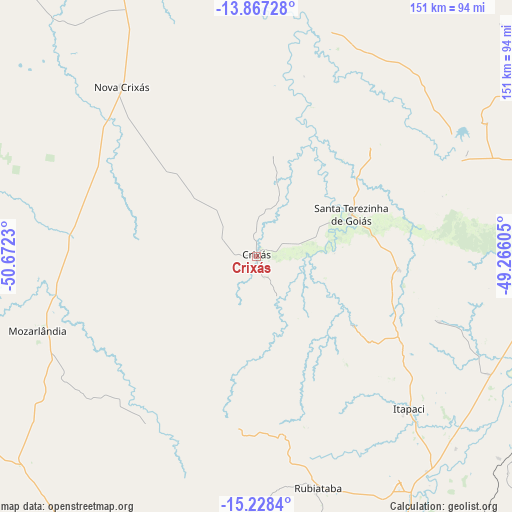
| Upper-left | -13.86728°, | -50.6723° |
| Center: | -14.54889°, | -49.96917° |
| Lower-right: | -15.2284°, | -49.26605° |
| Map W x H: | 151.3×151.3 km | = 94×94mi |
| max Lat: | 2.81972° ⇑42.9% North |
| Crixás: | -14.54889° |
| min Lat: | ⇓57.1% South -33.69111° |
| min Long | Crixás | max Long |
| -72.89583° | -49.96917° | -32.41083° |
| W 21.9%⇐ | ⇒78.1% E |
Elevation
Elevation of Crixás is 382 m = 1253 ft, and this is 1.1 m = 4 ft above average elevation for this country.
| Max E: |
1603 m = 5259 ft | 47.7% |
| Crixás | 382 m 1253 ft | |
| Avg. | 380.9 m = 1250 ft | |
Min E: |
0 m = 0 ft | 52.3% |
See also: Brazil elevation on elevation.city.
Geographical zone
Crixás is located in South Torrid zone (between Equator and Tropic of Capricorn). Distance of this Southern Tropic circle is 988.2 km =614 mi to South.| Distance of | km | miles | from Crixás |
|---|---|---|---|
| Equator | 1617.7 | 1005.2 | to North |
| Tropic Capricorn | 988.2 | 614 | to South |
| Antarctic Circle | 5783.5 | 3593.7 | to South |
| South Pole | 8389.4 | 5212.9 | to South |


Nearby cities:
15 places around Crixás: (largest is in red/bold)
• Barro Alto
122.6 km =76.2 mi,  112°
112°
• Carmo do Rio Verde
93.8 km =58.3 mi,  162°
162°
• Ceres
93.4 km =58 mi,  154°
154°
• Goianésia
125.2 km =77.8 mi,  133°
133°
• Goiás
155.1 km =96.4 mi,  186°
186°
• Itapaci
63.5 km =39.5 mi, 134°
• Itapuranga
112.7 km =70 mi,  178°
178°
• Jaraguá
150.6 km =93.6 mi, 153°
• Mozarlândia
68.3 km =42.4 mi,  251°
251°
• Porangatu
151.7 km =94.3 mi,  35°
35°
• Rialma
94.7 km =58.8 mi, 154°
• Rubiataba
70.7 km =43.9 mi,  165°
165°
• São Miguel do Araguaia
143.2 km =89 mi,  351°
351°
• Uruana
110.5 km =68.7 mi, 163°
• Uruaçu
89.2 km =55.4 mi,  88°
88°
Sources, notices
• [Note1] Compared only with cities in Brazil existing in our database
• [Src1] Map data: © OpenStreetMap contributors (CC-BY-SA)
• [Src2] Other city data from geonames.org with taken over terms of usage.
• [Src3] Geographical zone / Annual Mean Temperature by Robert A. Rohde @ Wikipedia
