Monte Carmelo geodata
Monte Carmelo (Minas Gerais) is a populated place; located in Brazil in America/Sao_Paulo (GMT-3) time zone. With population of 44,041 people, there are 484 cities with bigger population in this country. Compared to other cities in Brazil, 52.5% of cities are located further ↑North; 61.8% of cities are located further →East and 93.3% of cities have lower elevation than Monte Carmelo. Note1


Monte Carmelo GPS coordinates[2]
18° 43' 28.992" South, 47° 29' 54.996" West
| Map corner | latitude | longitude |
|---|---|---|
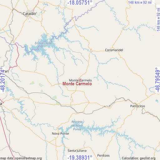
| Upper-left | -18.05751°, | -48.20174° |
| Center: | -18.72472°, | -47.49861° |
| Lower-right: | -19.38931°, | -46.79549° |
| Map W x H: | 148.1×148.1 km | = 92×92mi |
| max Lat: | 2.81972° ⇑52.5% North |
| Monte Carmelo: | -18.72472° |
| min Lat: | ⇓47.5% South -33.69111° |
| min Long | Monte Carmelo | max Long |
| -72.89583° | -47.49861° | -32.41083° |
| W 38.2%⇐ | ⇒61.8% E |
Elevation
Elevation of Monte Carmelo is 871 m = 2858 ft, and this is 490.1 m = 1608 ft above average elevation for this country.
| Max E: |
1603 m = 5259 ft | 6.7% |
| Monte Carmelo | 871 m 2858 ft | |
| Avg. | 380.9 m = 1250 ft | |
Min E: |
0 m = 0 ft | 93.3% |
See also: Monte Carmelo elevation on elevation.city.
Geographical zone
Monte Carmelo is located in South Torrid zone (between Equator and Tropic of Capricorn). Distance of this Southern Tropic circle is 523.9 km =325.5 mi to South.| Distance of | km | miles | from Monte Carmelo |
|---|---|---|---|
| Equator | 2082 | 1293.7 | to North |
| Tropic Capricorn | 523.9 | 325.5 | to South |
| Antarctic Circle | 5319.2 | 3305.2 | to South |
| South Pole | 7925.1 | 4924.4 | to South |


Nearby cities:
15 places around Monte Carmelo: (largest is in red/bold)
• Araguari
73 km =45.4 mi,  276°
276°
• Araxá
113 km =70.2 mi,  148°
148°
• Carmo do Paranaíba
128.2 km =79.7 mi,  103°
103°
• Catalão
78.1 km =48.5 mi,  322°
322°
• Coromandel
42.1 km =26.2 mi,  48°
48°
• Ibiá
131.1 km =81.5 mi,  129°
129°
• Lagoa Formosa
115 km =71.5 mi,  92°
92°
• Patos de Minas
104.6 km =65 mi,  81°
81°
• Patrocínio
58.6 km =36.4 mi,  114°
114°
• Presidente Olegário
118.9 km =73.9 mi,  73°
73°
• Sacramento
127 km =78.9 mi,  177°
177°
• Tupaciguara
127.9 km =79.5 mi, 276°
• Uberaba
122.6 km =76.2 mi,  201°
201°
• Uberlândia
84.7 km =52.6 mi,  255°
255°
• Vazante
103 km =64 mi,  37°
37°
Sources, notices
• [Note1] Compared only with cities in Brazil existing in our database
• [Src1] Map data: © OpenStreetMap contributors (CC-BY-SA)
• [Src2] Other city data from geonames.org with taken over terms of usage.
• [Src3] Geographical zone / Annual Mean Temperature by Robert A. Rohde @ Wikipedia
