Tefé geodata
Tefé (Amazonas) is a populated place; located in Brazil in America/Manaus (GMT-4) time zone. With population of 44,942 people, there are 474 cities with bigger population in this country. Compared to other cities in Brazil, 94.1% of cities are located further ↓South; 98.4% of cities are located further →East and 77.1% of cities have higher elevation than Tefé. Note1


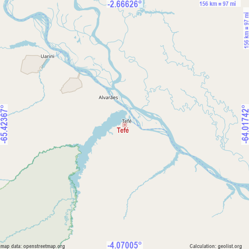
Tefé GPS coordinates[2]
3° 22' 6.276" South, 64° 43' 13.944" West
| Map corner | latitude | longitude |
|---|---|---|
| Upper-left | -2.66626°, | -65.42367° |
| Center: | -3.36841°, | -64.72054° |
| Lower-right: | -4.07005°, | -64.01742° |
| Map W x H: | 156.1×156.1 km | = 97×97mi |
| max Lat: | 2.81972° ⇑5.9% North |
| Tefé: | -3.36841° |
| min Lat: | ⇓94.1% South -33.69111° |
| min Long | Tefé | max Long |
| -72.89583° | -64.72054° | -32.41083° |
| W 1.6%⇐ | ⇒98.4% E |
Elevation
Elevation of Tefé is 64 m = 210 ft, and this is 316.9 m = 1040 ft below average elevation for this country.
| Max E: |
1603 m = 5259 ft | 77.1% |
| Avg. | 380.9 m = 1250 ft | |
| Tefé | 64 m = 210 ft | |
Min E: |
0 m = 0 ft | 22.9% |
See also: Tefé elevation on elevation.city.
Geographical zone
Tefé is located in South Torrid zone (between Equator and Tropic of Capricorn). Distance of Equator is 374.5 km =232.7 mi to North.| Distance of | km | miles | from Tefé |
|---|---|---|---|
| Equator | 374.5 | 232.7 | to North |
| Tropic Capricorn | 2231.4 | 1386.5 | to South |
| Antarctic Circle | 7026.6 | 4366.1 | to South |
| South Pole | 9632.5 | 5985.4 | to South |


Nearby cities:
13 places around Tefé: (largest is in red/bold)
• Alvarães
18.9 km =11.7 mi,  330°
330°
• Anori
344.3 km =213.9 mi,  97°
97°
• Barcelos
332.6 km =206.7 mi,  36°
36°
• Canutama
353.9 km =219.9 mi,  173°
173°
• Carauari
294.2 km =182.8 mi,  235°
235°
• Coari
192.5 km =119.6 mi,  114°
114°
• Codajás
300.1 km =186.5 mi, 99°
• Fonte Boa
179.5 km =111.5 mi,  301°
301°
• Maraã
185.8 km =115.5 mi,  337°
337°
• Santa Isabel do Rio Negro
330.2 km =205.2 mi,  354°
354°
• Santo Antônio do Içá
358.6 km =222.8 mi,  274°
274°
• Tonantins
346.5 km =215.3 mi,  279°
279°
• Uarini
60.2 km =37.4 mi,  314°
314°
Sources, notices
• [Note1] Compared only with cities in Brazil existing in our database
• [Src1] Map data: © OpenStreetMap contributors (CC-BY-SA)
• [Src2] Other city data from geonames.org with taken over terms of usage.
• [Src3] Geographical zone / Annual Mean Temperature by Robert A. Rohde @ Wikipedia
