Pimenta Bueno geodata
Pimenta Bueno (Rondônia) is a populated place; located in Brazil in America/Porto_Velho (GMT-4) time zone. With population of 25,762 people, there are 764 cities with bigger population in this country. Compared to other cities in Brazil, 63.1% of cities are located further ↓South; 97.6% of cities are located further →East and 63.2% of cities have higher elevation than Pimenta Bueno. Note1


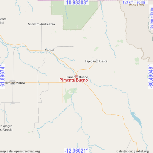
Pimenta Bueno GPS coordinates[2]
11° 40' 21" South, 61° 11' 36.996" West
| Map corner | latitude | longitude |
|---|---|---|
| Upper-left | -10.98308°, | -61.89674° |
| Center: | -11.6725°, | -61.19361° |
| Lower-right: | -12.36021°, | -60.49049° |
| Map W x H: | 153.1×153.1 km | = 95.1×95.1mi |
| max Lat: | 2.81972° ⇑36.9% North |
| Pimenta Bueno: | -11.6725° |
| min Lat: | ⇓63.1% South -33.69111° |
| min Long | Pimenta Bueno | max Long |
| -72.89583° | -61.19361° | -32.41083° |
| W 2.4%⇐ | ⇒97.6% E |
Elevation
Elevation of Pimenta Bueno is 183 m = 600 ft, and this is 197.9 m = 649 ft below average elevation for this country.
| Max E: |
1603 m = 5259 ft | 63.2% |
| Avg. | 380.9 m = 1250 ft | |
| Pimenta Bueno | 183 m = 600 ft | |
Min E: |
0 m = 0 ft | 36.8% |
See also: Brazil elevation on elevation.city.
Geographical zone
Pimenta Bueno is located in South Torrid zone (between Equator and Tropic of Capricorn). Distance of Equator is 1297.9 km =806.5 mi to North.| Distance of | km | miles | from Pimenta Bueno |
|---|---|---|---|
| Equator | 1297.9 | 806.5 | to North |
| Tropic Capricorn | 1308.1 | 812.8 | to South |
| Antarctic Circle | 6103.3 | 3792.4 | to South |
| South Pole | 8709.2 | 5411.6 | to South |


Nearby cities:
10 places around Pimenta Bueno: (largest is in red/bold)
• Aripuanã
285.3 km =177.3 mi,  12°
12°
• Ariquemes
281 km =174.6 mi,  314°
314°
• Cacoal
37.9 km =23.5 mi, 313°
• Jaru
195.2 km =121.3 mi, 314°
• Ji Paraná
120.4 km =74.8 mi,  316°
316°
• Ouro Preto do Oeste
151.6 km =94.2 mi, 312°
• Porto Velho
438.9 km =272.7 mi, 317°
• Presidente Médici
94.9 km =59 mi, 305°
• Pôsto Fiscal Rolim de Moura
196.1 km =121.9 mi,  216°
216°
• Vilhena
164.5 km =102.2 mi,  136°
136°
Sources, notices
• [Note1] Compared only with cities in Brazil existing in our database
• [Src1] Map data: © OpenStreetMap contributors (CC-BY-SA)
• [Src2] Other city data from geonames.org with taken over terms of usage.
• [Src3] Geographical zone / Annual Mean Temperature by Robert A. Rohde @ Wikipedia
