Vilhena geodata
Vilhena (Rondônia) is a populated place; located in Brazil in America/Porto_Velho (GMT-4) time zone. With population of 63,231 people, there are 355 cities with bigger population in this country. Compared to other cities in Brazil, 60.6% of cities are located further ↓South; 97.3% of cities are located further →East and 71.9% of cities have lower elevation than Vilhena. Note1


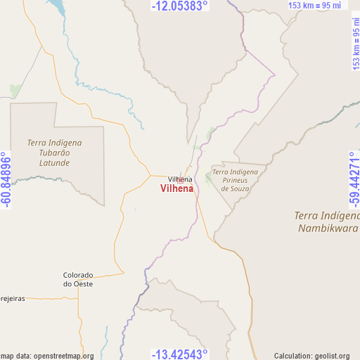
Vilhena GPS coordinates[2]
12° 44' 26.016" South, 60° 8' 44.988" West
| Map corner | latitude | longitude |
|---|---|---|
| Upper-left | -12.05383°, | -60.84896° |
| Center: | -12.74056°, | -60.14583° |
| Lower-right: | -13.42543°, | -59.44271° |
| Map W x H: | 152.5×152.5 km | = 94.8×94.8mi |
| max Lat: | 2.81972° ⇑39.4% North |
| Vilhena: | -12.74056° |
| min Lat: | ⇓60.6% South -33.69111° |
| min Long | Vilhena | max Long |
| -72.89583° | -60.14583° | -32.41083° |
| W 2.7%⇐ | ⇒97.3% E |
Elevation
Elevation of Vilhena is 591 m = 1939 ft, and this is 210.1 m = 689 ft above average elevation for this country.
| Max E: |
1603 m = 5259 ft | 28.1% |
| Vilhena | 591 m 1939 ft | |
| Avg. | 380.9 m = 1250 ft | |
Min E: |
0 m = 0 ft | 71.9% |
See also: Vilhena elevation on elevation.city.
Geographical zone
Vilhena is located in South Torrid zone (between Equator and Tropic of Capricorn). Distance of this Southern Tropic circle is 1189.3 km =739 mi to South.| Distance of | km | miles | from Vilhena |
|---|---|---|---|
| Equator | 1416.6 | 880.2 | to North |
| Tropic Capricorn | 1189.3 | 739 | to South |
| Antarctic Circle | 5984.6 | 3718.7 | to South |
| South Pole | 8590.4 | 5337.8 | to South |


Nearby cities:
13 places around Vilhena: (largest is in red/bold)
• Arenápolis
404.1 km =251.1 mi,  118°
118°
• Aripuanã
400.9 km =249.1 mi,  352°
352°
• Barra do Bugres
411.8 km =255.9 mi,  129°
129°
• Cacoal
202.4 km =125.8 mi,  315°
315°
• Jaru
359.7 km =223.5 mi, 315°
• Ji Paraná
284.9 km =177 mi, 316°
• Nortelândia
408.5 km =253.8 mi, 117°
• Nova Olímpia
384.1 km =238.7 mi, 126°
• Ouro Preto do Oeste
316 km =196.4 mi,  314°
314°
• Pimenta Bueno
164.5 km =102.2 mi, 316°
• Pontes e Lacerda
289.9 km =180.1 mi,  162°
162°
• Presidente Médici
258.4 km =160.6 mi, 312°
• Pôsto Fiscal Rolim de Moura
234.1 km =145.5 mi,  260°
260°
Sources, notices
• [Note1] Compared only with cities in Brazil existing in our database
• [Src1] Map data: © OpenStreetMap contributors (CC-BY-SA)
• [Src2] Other city data from geonames.org with taken over terms of usage.
• [Src3] Geographical zone / Annual Mean Temperature by Robert A. Rohde @ Wikipedia
