Burgeo geodata
Burgeo (Newfoundland and Labrador) is a populated place; located in Canada in America/St_Johns (GMT-2.5) time zone. With population of 1,627 people, there are 832 cities with bigger population in this country. Compared to other cities in Canada, 51.8% of cities are located further ↓South; 97.4% of cities are located further ←West and 99.7% of cities have higher elevation than Burgeo. Note1


Burgeo GPS coordinates[2]
47° 37' 0.048" North, 57° 36' 54.576" West
| Map corner | latitude | longitude |
|---|---|---|
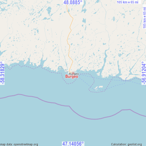
| Upper-left | 48.0885°, | -58.31829° |
| Center: | 47.61668°, | -57.61516° |
| Lower-right: | 47.14056°, | -56.91204° |
| Map W x H: | 105.4×105.4 km | = 65.5×65.5mi |
| max Lat: | 73.03752° ⇑48.2% North |
| Burgeo: | 47.61668° |
| min Lat: | ⇓51.8% South 42.05009° |
| min Long | Burgeo | max Long |
| -139.43328° | -57.61516° | -52.70931° |
| W 97.4%⇐ | ⇒2.6% E |
Elevation
Elevation of Burgeo is 1 m = 3 ft, and this is 253.4 m = 831 ft below average elevation for this country.
| Max E: |
1518 m = 4980 ft | 99.7% |
| Avg. | 254.4 m = 835 ft | |
| Burgeo | 1 m = 3 ft | |
Min E: |
-2 m = -7 ft | 0.3% |
See also: Canada elevation on elevation.city.
Geographical zone
Burgeo is located in North temperate zone (between Tropic of Cancer and the Arctic Circle). Distance of this North polar circle is 2106.7 km =1309 mi to North.| Distance of | km | miles | from Burgeo |
|---|---|---|---|
| North Pole | 4712.6 | 2928.3 | to North |
| Arctic Circle | 2106.7 | 1309 | to North |
| Tropic Cancer | 2688.6 | 1670.6 | to South |
| Equator | 5294.5 | 3289.8 | to South |


Nearby cities:
15 places around Burgeo: (largest is in red/bold)
• Bay St. George South
113.9 km =70.8 mi,  306°
306°
• Botwood
238.9 km =148.4 mi,  44°
44°
• Channel-Port aux Basques
114.3 km =71 mi,  267°
267°
• Corner Brook
150.3 km =93.4 mi,  350°
350°
• Deer Lake
172.9 km =107.4 mi,  4°
4°
• Glace Bay
237.8 km =147.8 mi,  228°
228°
• Grand Bank
150.7 km =93.6 mi,  112°
112°
• Grand Falls-Windsor
205.6 km =127.8 mi, 44°
• Harbour Breton
137.1 km =85.2 mi,  96°
96°
• Marystown
192.3 km =119.5 mi, 105°
• Pasadena
155.7 km =96.7 mi, 0°
• Springdale
238.4 km =148.1 mi,  28°
28°
• Stephenville
126.2 km =78.4 mi,  325°
325°
• Stephenville Crossing
115.5 km =71.8 mi, 328°
• Sydney Mines
250.2 km =155.5 mi, 232°
Sources, notices
• [Note1] Compared only with cities in Canada existing in our database
• [Src1] Map data: © OpenStreetMap contributors (CC-BY-SA)
• [Src2] Other city data from geonames.org with taken over terms of usage.
• [Src3] Geographical zone / Annual Mean Temperature by Robert A. Rohde @ Wikipedia
