La Scie geodata
La Scie (Newfoundland and Labrador) is a populated place; located in Canada in America/St_Johns (GMT-2.5) time zone. With population of 970 people, there are 1057 cities with bigger population in this country. Compared to other cities in Canada, 75.3% of cities are located further ↓South; 98% of cities are located further ←West and 81.3% of cities have higher elevation than La Scie. Note1


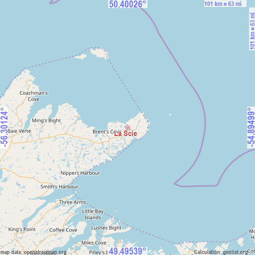
La Scie GPS coordinates[2]
49° 56' 59.82" North, 55° 35' 53.196" West
| Map corner | latitude | longitude |
|---|---|---|
| Upper-left | 50.40026°, | -56.30124° |
| Center: | 49.94995°, | -55.59811° |
| Lower-right: | 49.49539°, | -54.89499° |
| Map W x H: | 100.6×100.6 km | = 62.5×62.5mi |
| max Lat: | 73.03752° ⇑24.7% North |
| La Scie: | 49.94995° |
| min Lat: | ⇓75.3% South 42.05009° |
| min Long | La Scie | max Long |
| -139.43328° | -55.59811° | -52.70931° |
| W 98%⇐ | ⇒2% E |
Elevation
Elevation of La Scie is 30 m = 98 ft, and this is 224.4 m = 736 ft below average elevation for this country.
| Max E: |
1518 m = 4980 ft | 81.3% |
| Avg. | 254.4 m = 835 ft | |
| La Scie | 30 m = 98 ft | |
Min E: |
-2 m = -7 ft | 18.7% |
See also: Canada elevation on elevation.city.
Geographical zone
La Scie is located in North temperate zone (between Tropic of Cancer and the Arctic Circle). Distance of this North polar circle is 1847.3 km =1147.9 mi to North.| Distance of | km | miles | from La Scie |
|---|---|---|---|
| North Pole | 4453.1 | 2767 | to North |
| Arctic Circle | 1847.3 | 1147.9 | to North |
| Tropic Cancer | 2948 | 1831.8 | to South |
| Equator | 5553.9 | 3451 | to South |


Nearby cities:
15 places around La Scie: (largest is in red/bold)
• Bloomfield
213.6 km =132.7 mi,  144°
144°
• Botwood
90.8 km =56.4 mi,  168°
168°
• Clarenville-Shoal Harbour
229.7 km =142.7 mi,  148°
148°
• Corner Brook
203.2 km =126.3 mi,  236°
236°
• Deer Lake
158.3 km =98.4 mi, 236°
• Fogo Island
105.7 km =65.7 mi,  104°
104°
• Gambo
163.9 km =101.8 mi, 142°
• Gander Bay North
104.5 km =64.9 mi,  129°
129°
• Grand Falls-Windsor
113.2 km =70.3 mi,  182°
182°
• Hare Bay
167.6 km =104.1 mi, 136°
• Lewisporte
87.3 km =54.2 mi, 153°
• Pasadena
177.9 km =110.5 mi,  234°
234°
• Springdale
60.2 km =37.4 mi,  213°
213°
• St. Anthony
157.9 km =98.1 mi,  0°
0°
• Virgin Arm-Carter's Cove
74.8 km =46.5 mi, 128°
Sources, notices
• [Note1] Compared only with cities in Canada existing in our database
• [Src1] Map data: © OpenStreetMap contributors (CC-BY-SA)
• [Src2] Other city data from geonames.org with taken over terms of usage.
• [Src3] Geographical zone / Annual Mean Temperature by Robert A. Rohde @ Wikipedia
