Gbadolite geodata
Gbadolite (Nord-Ubangi) is a seat of a first-order administrative division; located in Democratic Republic of the Congo in Africa/Kinshasa (GMT+1) time zone. With population of 50,493 people, there are 36 cities with bigger population in this country. Compared to other cities in Democratic Republic of the Congo, 100% of cities are located further ↓South; 62.9% of cities are located further →East and 64.3% of cities have higher elevation than Gbadolite. Note1


Gbadolite GPS coordinates[2]
4° 16' 44.4" North, 21° 0' 10.224" East
| Map corner | latitude | longitude |
|---|---|---|
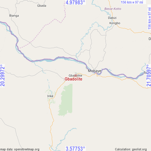
| Upper-left | 4.97983°, | 20.29972° |
| Center: | 4.279°, | 21.00284° |
| Lower-right: | 3.57753°, | 21.70597° |
| Map W x H: | 155.9×155.9 km | = 96.9×96.9mi |
| max Lat: | 4.279° ⇑0% North |
| Gbadolite: | 4.279° |
| min Lat: | ⇓100% South -11.76097° |
| min Long | Gbadolite | max Long |
| 12.37148° | 21.00284° | 30.25224° |
| W 37.1%⇐ | ⇒62.9% E |
Elevation
Elevation of Gbadolite is 416 m = 1365 ft, and this is 240 m = 787 ft below average elevation for this country.
| Max E: |
1996 m = 6549 ft | 64.3% |
| Avg. | 656 m = 2152 ft | |
| Gbadolite | 416 m = 1365 ft | |
Min E: |
11 m = 36 ft | 35.7% |
See also: Gbadolite elevation on elevation.city.
Geographical zone
Gbadolite is located in North Torrid zone (between Equator and Tropic of Cancer). Distance of Equator is 475.8 km =295.6 mi to South.| Distance of | km | miles | from Gbadolite |
|---|---|---|---|
| North Pole | 9531.3 | 5922.5 | to North |
| Arctic Circle | 6925.4 | 4303.2 | to North |
| Tropic Cancer | 2130.1 | 1323.6 | to North |
| Equator | 475.8 | 295.6 | to South |


Nearby cities:
9 places around Gbadolite: (largest is in red/bold)
• Aketi
352.9 km =219.3 mi,  119°
119°
• Bondo
302.1 km =187.7 mi,  99°
99°
• Bongandanga
308.3 km =191.6 mi,  178°
178°
• Bosobolo
124.5 km =77.4 mi,  265°
265°
• Bumba
283.8 km =176.3 mi,  145°
145°
• Businga
105.4 km =65.5 mi,  187°
187°
• Gemena
177.7 km =110.4 mi,  230°
230°
• Libenge
271.6 km =168.8 mi,  255°
255°
• Lisala
243.4 km =151.2 mi,  166°
166°
Sources, notices
• [Note1] Compared only with cities in Democratic Republic of the Congo existing in our database
• [Src1] Map data: © OpenStreetMap contributors (CC-BY-SA)
• [Src2] Other city data from geonames.org with taken over terms of usage.
• [Src3] Geographical zone / Annual Mean Temperature by Robert A. Rohde @ Wikipedia
