Wangen geodata
Wangen (Solothurn) is a populated place; located in Switzerland in Europe/Zurich (GMT+2) time zone. With population of 4,686 people, there are 368 cities with bigger population in this country. Compared to other cities in Switzerland, 63.9% of cities are located further ↓South; 63.4% of cities are located further →East and 80.6% of cities have higher elevation than Wangen. Note1


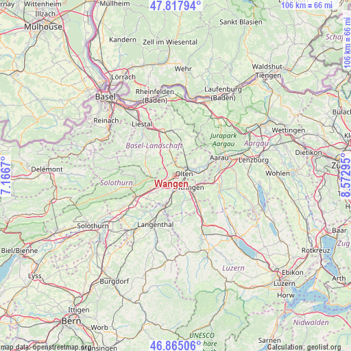
Wangen GPS coordinates[2]
47° 20' 37.14" North, 7° 52' 11.352" East
| Map corner | latitude | longitude |
|---|---|---|
| Upper-left | 47.81794°, | 7.1667° |
| Center: | 47.34365°, | 7.86982° |
| Lower-right: | 46.86506°, | 8.57295° |
| Map W x H: | 106×105.9 km | = 65.9×65.8mi |
| max Lat: | 47.76737° ⇑36.1% North |
| Wangen: | 47.34365° |
| min Lat: | ⇓63.9% South 45.83203° |
| min Long | Wangen | max Long |
| 5.97153° | 7.86982° | 10.44624° |
| W 36.6%⇐ | ⇒63.4% E |
Elevation
Elevation of Wangen is 420 m = 1378 ft, and this is 138.2 m = 453 ft below average elevation for this country.
| Max E: |
1845 m = 6053 ft | 80.6% |
| Avg. | 558.2 m = 1831 ft | |
| Wangen | 420 m = 1378 ft | |
Min E: |
197 m = 646 ft | 19.4% |
See also: Switzerland elevation on elevation.city.
Geographical zone
Wangen is located in North temperate zone (between Tropic of Cancer and the Arctic Circle). Distance of this North polar circle is 2137.1 km =1327.9 mi to North.| Distance of | km | miles | from Wangen |
|---|---|---|---|
| North Pole | 4742.9 | 2947.1 | to North |
| Arctic Circle | 2137.1 | 1327.9 | to North |
| Tropic Cancer | 2658.2 | 1651.7 | to South |
| Equator | 5264.1 | 3271 | to South |


Nearby cities:
15 places around Wangen: (largest is in red/bold)
• Aarburg
3.4 km =2.1 mi,  138°
138°
• Buckten
7.6 km =4.7 mi,  345°
345°
• Egerkingen
7 km =4.3 mi,  247°
247°
• Gunzgen
4.4 km =2.7 mi,  221°
221°
• Hägendorf
2.4 km =1.5 mi, 245°
• Känerkinden
8 km =5 mi,  342°
342°
• Langenbruck
7.7 km =4.8 mi,  274°
274°
• Lostorf
7.3 km =4.5 mi,  52°
52°
• Läufelfingen
5.8 km =3.6 mi, 349°
• Obergösgen
6.6 km =4.1 mi,  68°
68°
• Oftringen
5.3 km =3.3 mi,  128°
128°
• Olten
2.6 km =1.6 mi, 74°
• Rothrist
4.6 km =2.9 mi,  158°
158°
• Trimbach
2.8 km =1.7 mi,  27°
27°
• Vordemwald
7.9 km =4.9 mi, 162°
Sources, notices
• [Note1] Compared only with cities in Switzerland existing in our database
• [Src1] Map data: © OpenStreetMap contributors (CC-BY-SA)
• [Src2] Other city data from geonames.org with taken over terms of usage.
• [Src3] Geographical zone / Annual Mean Temperature by Robert A. Rohde @ Wikipedia
