Trubschachen geodata
Trubschachen (Bern) is a populated place; located in Switzerland in Europe/Zurich (GMT+2) time zone. With population of 1,530 people, there are 1018 cities with bigger population in this country. Compared to other cities in Switzerland, 68.3% of cities are located further ↑North; 64.2% of cities are located further →East and 84.6% of cities have lower elevation than Trubschachen. Note1


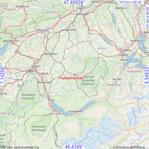
Trubschachen GPS coordinates[2]
46° 55' 20.208" North, 7° 50' 42.72" East
| Map corner | latitude | longitude |
|---|---|---|
| Upper-left | 47.40036°, | 7.14208° |
| Center: | 46.92228°, | 7.8452° |
| Lower-right: | 46.4399°, | 8.54833° |
| Map W x H: | 106.8×106.8 km | = 66.4×66.4mi |
| max Lat: | 47.76737° ⇑68.3% North |
| Trubschachen: | 46.92228° |
| min Lat: | ⇓31.7% South 45.83203° |
| min Long | Trubschachen | max Long |
| 5.97153° | 7.8452° | 10.44624° |
| W 35.8%⇐ | ⇒64.2% E |
Elevation
Elevation of Trubschachen is 731 m = 2398 ft, and this is 172.8 m = 567 ft above average elevation for this country.
| Max E: |
1845 m = 6053 ft | 15.4% |
| Trubschachen | 731 m 2398 ft | |
| Avg. | 558.2 m = 1831 ft | |
Min E: |
197 m = 646 ft | 84.6% |
See also: Switzerland elevation on elevation.city.
Geographical zone
Trubschachen is located in North temperate zone (between Tropic of Cancer and the Arctic Circle). Distance of this North polar circle is 2183.9 km =1357 mi to North.| Distance of | km | miles | from Trubschachen |
|---|---|---|---|
| North Pole | 4789.8 | 2976.2 | to North |
| Arctic Circle | 2183.9 | 1357 | to North |
| Tropic Cancer | 2611.3 | 1622.6 | to South |
| Equator | 5217.3 | 3241.9 | to South |


Nearby cities:
15 places around Trubschachen: (largest is in red/bold)
• Arni
13.8 km =8.6 mi,  275°
275°
• Bowil
11.7 km =7.3 mi,  253°
253°
• Eggiwil
6.4 km =4 mi,  216°
216°
• Escholzmatt
6.8 km =4.2 mi,  98°
98°
• Flühli
13.6 km =8.5 mi,  108°
108°
• Landiswil
13.2 km =8.2 mi,  287°
287°
• Langnau
4.8 km =3 mi, 293°
• Lauperswil
9.2 km =5.7 mi,  301°
301°
• Rüderswil
11.6 km =7.2 mi,  306°
306°
• Schangnau
10.6 km =6.6 mi,  173°
173°
• Schüpfheim
13.5 km =8.4 mi,  75°
75°
• Signau
9.2 km =5.7 mi,  268°
268°
• Sumiswald
13.9 km =8.6 mi,  327°
327°
• Trachselwald
13.4 km =8.3 mi,  321°
321°
• Trub
3.4 km =2.1 mi,  50°
50°
Sources, notices
• [Note1] Compared only with cities in Switzerland existing in our database
• [Src1] Map data: © OpenStreetMap contributors (CC-BY-SA)
• [Src2] Other city data from geonames.org with taken over terms of usage.
• [Src3] Geographical zone / Annual Mean Temperature by Robert A. Rohde @ Wikipedia
