Dallenwil geodata
Dallenwil (Nidwalden) is a populated place; located in Switzerland in Europe/Zurich (GMT+2) time zone. With population of 1,738 people, there are 927 cities with bigger population in this country. Compared to other cities in Switzerland, 68.2% of cities are located further ↑North; 51.1% of cities are located further →East and 68.6% of cities have lower elevation than Dallenwil. Note1


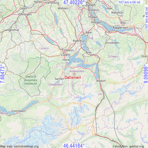
Dallenwil GPS coordinates[2]
46° 55' 27.12" North, 8° 23' 16.26" East
| Map corner | latitude | longitude |
|---|---|---|
| Upper-left | 47.40226°, | 7.68473° |
| Center: | 46.9242°, | 8.38785° |
| Lower-right: | 46.44184°, | 9.09098° |
| Map W x H: | 106.8×106.8 km | = 66.4×66.4mi |
| max Lat: | 47.76737° ⇑68.2% North |
| Dallenwil: | 46.9242° |
| min Lat: | ⇓31.8% South 45.83203° |
| min Long | Dallenwil | max Long |
| 5.97153° | 8.38785° | 10.44624° |
| W 48.9%⇐ | ⇒51.1% E |
Elevation
Elevation of Dallenwil is 565 m = 1854 ft, and this is 6.8 m = 22 ft above average elevation for this country.
| Max E: |
1845 m = 6053 ft | 31.4% |
| Dallenwil | 565 m 1854 ft | |
| Avg. | 558.2 m = 1831 ft | |
Min E: |
197 m = 646 ft | 68.6% |
See also: Switzerland elevation on elevation.city.
Geographical zone
Dallenwil is located in North temperate zone (between Tropic of Cancer and the Arctic Circle). Distance of this North polar circle is 2183.7 km =1356.9 mi to North.| Distance of | km | miles | from Dallenwil |
|---|---|---|---|
| North Pole | 4789.6 | 2976.1 | to North |
| Arctic Circle | 2183.7 | 1356.9 | to North |
| Tropic Cancer | 2611.6 | 1622.8 | to South |
| Equator | 5217.5 | 3242 | to South |


Nearby cities:
15 places around Dallenwil: (largest is in red/bold)
• Alpnach
9 km =5.6 mi,  282°
282°
• Beckenried
8.2 km =5.1 mi,  54°
54°
• Buochs
6.1 km =3.8 mi,  25°
25°
• Emmetten
10.3 km =6.4 mi,  69°
69°
• Engelberg
11.5 km =7.1 mi,  174°
174°
• Ennetbürgen
6.9 km =4.3 mi,  14°
14°
• Hergiswil
8.9 km =5.5 mi,  318°
318°
• Horw
11.9 km =7.4 mi,  330°
330°
• Kerns
8.9 km =5.5 mi,  253°
253°
• Sarnen
11.3 km =7 mi, 253°
• Stans
4.1 km =2.5 mi,  336°
336°
• Stansstad
7.1 km =4.4 mi, 325°
• Vitznau
12 km =7.5 mi,  37°
37°
• Weggis
12.5 km =7.8 mi,  15°
15°
• Wolfenschiessen
2.4 km =1.5 mi, 168°
Sources, notices
• [Note1] Compared only with cities in Switzerland existing in our database
• [Src1] Map data: © OpenStreetMap contributors (CC-BY-SA)
• [Src2] Other city data from geonames.org with taken over terms of usage.
• [Src3] Geographical zone / Annual Mean Temperature by Robert A. Rohde @ Wikipedia
