Wolfenschiessen geodata
Wolfenschiessen (Nidwalden) is a populated place; located in Switzerland in Europe/Zurich (GMT+2) time zone. With population of 2,080 people, there are 811 cities with bigger population in this country. Compared to other cities in Switzerland, 69.4% of cities are located further ↑North; 50.6% of cities are located further →East and 59.8% of cities have lower elevation than Wolfenschiessen. Note1


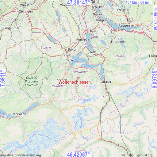
Wolfenschiessen GPS coordinates[2]
46° 54' 11.592" North, 8° 23' 39.228" East
| Map corner | latitude | longitude |
|---|---|---|
| Upper-left | 47.38147°, | 7.6911° |
| Center: | 46.90322°, | 8.39423° |
| Lower-right: | 46.42067°, | 9.09735° |
| Map W x H: | 106.8×106.8 km | = 66.4×66.4mi |
| max Lat: | 47.76737° ⇑69.4% North |
| Wolfenschiessen: | 46.90322° |
| min Lat: | ⇓30.6% South 45.83203° |
| min Long | Wolfenschiessen | max Long |
| 5.97153° | 8.39423° | 10.44624° |
| W 49.4%⇐ | ⇒50.6% E |
Elevation
Elevation of Wolfenschiessen is 517 m = 1696 ft, and this is 41.2 m = 135 ft below average elevation for this country.
| Max E: |
1845 m = 6053 ft | 40.2% |
| Avg. | 558.2 m = 1831 ft | |
| Wolfenschiessen | 517 m = 1696 ft | |
Min E: |
197 m = 646 ft | 59.8% |
See also: Switzerland elevation on elevation.city.
Geographical zone
Wolfenschiessen is located in North temperate zone (between Tropic of Cancer and the Arctic Circle). Distance of this North polar circle is 2186 km =1358.3 mi to North.| Distance of | km | miles | from Wolfenschiessen |
|---|---|---|---|
| North Pole | 4791.9 | 2977.5 | to North |
| Arctic Circle | 2186 | 1358.3 | to North |
| Tropic Cancer | 2609.2 | 1621.3 | to South |
| Equator | 5215.1 | 3240.5 | to South |


Nearby cities:
15 places around Wolfenschiessen: (largest is in red/bold)
• Alpnach
10.3 km =6.4 mi,  295°
295°
• Beckenried
9.4 km =5.8 mi,  41°
41°
• Buochs
8.2 km =5.1 mi,  15°
15°
• Dallenwil
2.4 km =1.5 mi,  348°
348°
• Emmetten
10.9 km =6.8 mi,  57°
57°
• Engelberg
9.2 km =5.7 mi,  176°
176°
• Ennetbürgen
9.1 km =5.7 mi,  7°
7°
• Hergiswil
11.1 km =6.9 mi,  324°
324°
• Isenthal
12.7 km =7.9 mi,  86°
86°
• Kerns
9.1 km =5.7 mi,  268°
268°
• Sachseln
12.9 km =8 mi,  251°
251°
• Sarnen
11.3 km =7 mi, 266°
• Stans
6.5 km =4 mi,  340°
340°
• Stansstad
9.3 km =5.8 mi,  331°
331°
• Vitznau
13.7 km =8.5 mi,  29°
29°
Sources, notices
• [Note1] Compared only with cities in Switzerland existing in our database
• [Src1] Map data: © OpenStreetMap contributors (CC-BY-SA)
• [Src2] Other city data from geonames.org with taken over terms of usage.
• [Src3] Geographical zone / Annual Mean Temperature by Robert A. Rohde @ Wikipedia
