Vallenar geodata
Vallenar (Atacama) is a seat of a second-order administrative division; located in Chile in America/Santiago (GMT-4) time zone. With population of 44,895 people, there are 45 cities with bigger population in this country. Compared to other cities in Chile, 89.7% of cities are located further ↓South; 76.6% of cities are located further ←West and 79.3% of cities have lower elevation than Vallenar. Note1


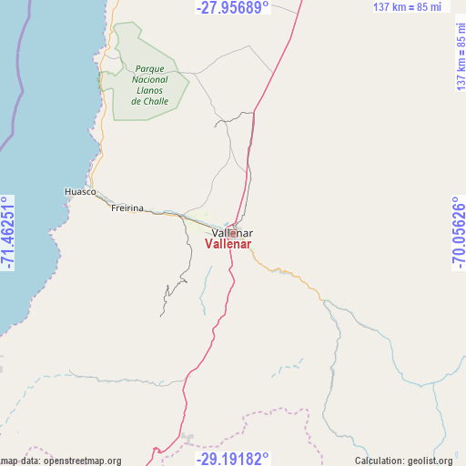
Vallenar GPS coordinates[2]
28° 34' 34.212" South, 70° 45' 33.768" West
| Map corner | latitude | longitude |
|---|---|---|
| Upper-left | -27.95689°, | -71.46251° |
| Center: | -28.57617°, | -70.75938° |
| Lower-right: | -29.19182°, | -70.05626° |
| Map W x H: | 137.3×137.3 km | = 85.3×85.3mi |
| max Lat: | -18.19821° ⇑10.3% North |
| Vallenar: | -28.57617° |
| min Lat: | ⇓89.7% South -54.93355° |
| min Long | Vallenar | max Long |
| -109.42438° | -70.75938° | -67.60963° |
| W 76.6%⇐ | ⇒23.4% E |
Elevation
Elevation of Vallenar is 388 m = 1273 ft, and this is 115 m = 377 ft above average elevation for this country.
| Max E: |
3544 m = 11627 ft | 20.7% |
| Vallenar | 388 m 1273 ft | |
| Avg. | 273 m = 896 ft | |
Min E: |
1 m = 3 ft | 79.3% |
See also: Vallenar elevation on elevation.city.
Geographical zone
Vallenar is located in South temperate zone (between Tropic of Capricorn and the Antarctic Circle). Distance of this Southern Tropic circle is 571.5 km =355.1 mi to North.| Distance of | km | miles | from Vallenar |
|---|---|---|---|
| Equator | 3177.4 | 1974.3 | to North |
| Tropic Capricorn | 571.5 | 355.1 | to North |
| Antarctic Circle | 4223.8 | 2624.5 | to South |
| South Pole | 6829.7 | 4243.8 | to South |


Nearby cities:
13 places around Vallenar: (largest is in red/bold)
• Chañaral
248.7 km =154.5 mi,  3°
3°
• Copiapó
140.9 km =87.6 mi,  17°
17°
• Coquimbo
163.1 km =101.3 mi,  200°
200°
• Diego de Almagro
255.4 km =158.7 mi, 15°
• Illapel
342.2 km =212.6 mi,  186°
186°
• La Ligua
433.4 km =269.3 mi, 185°
• La Serena
155.1 km =96.4 mi, 197°
• Monte Patria
236.4 km =146.9 mi,  184°
184°
• Ovalle
229.1 km =142.4 mi, 190°
• Salamanca
356.7 km =221.6 mi, 183°
• Taltal
353.4 km =219.6 mi, 4°
• Vallenar
49.7 km =30.9 mi,  82°
82°
• Vicuña
162.3 km =100.8 mi, 178°
Sources, notices
• [Note1] Compared only with cities in Chile existing in our database
• [Src1] Map data: © OpenStreetMap contributors (CC-BY-SA)
• [Src2] Other city data from geonames.org with taken over terms of usage.
• [Src3] Geographical zone / Annual Mean Temperature by Robert A. Rohde @ Wikipedia
