Nangong geodata
Nangong (Hebei) is a populated place; located in China in Asia/Shanghai (GMT+8) time zone. With population of 82,386 people, there are 520 cities with bigger population in this country. Compared to other cities in China, 79.9% of cities are located further ↓South; 56.2% of cities are located further ←West and 78.8% of cities have higher elevation than Nangong. Note1


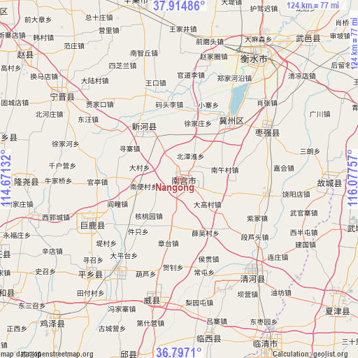
Nangong GPS coordinates[2]
37° 21' 29.016" North, 115° 22' 27.984" East
| Map corner | latitude | longitude |
|---|---|---|
| Upper-left | 37.91486°, | 114.67132° |
| Center: | 37.35806°, | 115.37444° |
| Lower-right: | 36.7971°, | 116.07757° |
| Map W x H: | 124.3×124.3 km | = 77.2×77.2mi |
| max Lat: | 53.31946° ⇑20.1% North |
| Nangong: | 37.35806° |
| min Lat: | ⇓79.9% South 18.22056° |
| min Long | Nangong | max Long |
| 75.07348° | 115.37444° | 134.28917° |
| W 56.2%⇐ | ⇒43.8% E |
Elevation
Elevation of Nangong is 29 m = 95 ft, and this is 455.8 m = 1495 ft below average elevation for this country.
| Max E: |
5622 m = 18445 ft | 78.8% |
| Avg. | 484.8 m = 1591 ft | |
| Nangong | 29 m = 95 ft | |
Min E: |
-3 m = -10 ft | 21.2% |
See also: Nangong elevation on elevation.city.
Geographical zone
Nangong is located in North temperate zone (between Tropic of Cancer and the Arctic Circle). Distance of this Northern Tropic circle is 1547.9 km =961.8 mi to South.| Distance of | km | miles | from Nangong |
|---|---|---|---|
| North Pole | 5853.2 | 3637 | to North |
| Arctic Circle | 3247.3 | 2017.8 | to North |
| Tropic Cancer | 1547.9 | 961.8 | to South |
| Equator | 4153.8 | 2581.1 | to South |


Nearby cities:
15 places around Nangong: (largest is in red/bold)
• Dongliang’erzhuang
70.9 km =44.1 mi,  188°
188°
• Gaobeijie
62 km =38.5 mi,  153°
153°
• Hengshui
50.6 km =31.4 mi,  34°
34°
• Jiamaying
53.6 km =33.3 mi,  108°
108°
• Laocheng
51.4 km =31.9 mi,  117°
117°
• Liuzhuang
52.9 km =32.9 mi,  138°
138°
• Mingzhou
43.7 km =27.2 mi, 193°
• Nancheng
71.6 km =44.5 mi,  129°
129°
• Qiangezhai
43.9 km =27.3 mi,  179°
179°
• Qingnian
64.9 km =40.3 mi, 152°
• Xiliguantun
59.1 km =36.7 mi, 121°
• Xinji
62.4 km =38.8 mi,  346°
346°
• Xinmatou
62.7 km =39 mi,  196°
196°
• Youfang
52.1 km =32.4 mi, 137°
• Zhoutou
69.2 km =43 mi,  332°
332°
Sources, notices
• [Note1] Compared only with cities in China existing in our database
• [Src1] Map data: © OpenStreetMap contributors (CC-BY-SA)
• [Src2] Other city data from geonames.org with taken over terms of usage.
• [Src3] Geographical zone / Annual Mean Temperature by Robert A. Rohde @ Wikipedia
