Subrag geodata
Subrag (Inner Mongolia) is a seat of a fourth-order administrative division; located in China in Asia/Shanghai (GMT+8) time zone. In our database, there are 1268 cities with bigger population. Compared to other cities in China, 93.1% of cities are located further ↓South; 73% of cities are located further ←West and 86.7% of cities have lower elevation than Subrag. Note1


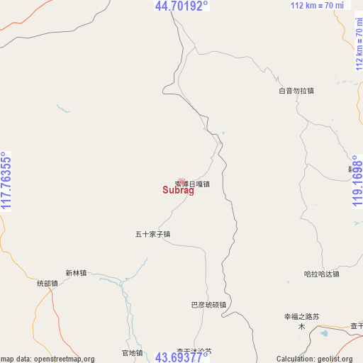
Subrag GPS coordinates[2]
44° 12' 0" North, 118° 28' 0.012" East
| Map corner | latitude | longitude |
|---|---|---|
| Upper-left | 44.70192°, | 117.76355° |
| Center: | 44.2°, | 118.46667° |
| Lower-right: | 43.69377°, | 119.1698° |
| Map W x H: | 112.1×112.1 km | = 69.7×69.7mi |
| max Lat: | 53.31946° ⇑6.9% North |
| Subrag: | 44.2° |
| min Lat: | ⇓93.1% South 18.22056° |
| min Long | Subrag | max Long |
| 75.07348° | 118.46667° | 134.28917° |
| W 73%⇐ | ⇒27% E |
Elevation
Elevation of Subrag is 1094 m = 3589 ft, and this is 609.2 m = 1999 ft above average elevation for this country.
| Max E: |
5622 m = 18445 ft | 13.3% |
| Subrag | 1094 m 3589 ft | |
| Avg. | 484.8 m = 1591 ft | |
Min E: |
-3 m = -10 ft | 86.7% |
See also: China elevation on elevation.city.
Geographical zone
Subrag is located in North temperate zone (between Tropic of Cancer and the Arctic Circle). Distance of this Northern Tropic circle is 2308.7 km =1434.6 mi to South.| Distance of | km | miles | from Subrag |
|---|---|---|---|
| North Pole | 5092.5 | 3164.3 | to North |
| Arctic Circle | 2486.6 | 1545.1 | to North |
| Tropic Cancer | 2308.7 | 1434.6 | to South |
| Equator | 4914.6 | 3053.8 | to South |


Nearby cities:
15 places around Subrag: (largest is in red/bold)
• Bala Ga’er Gaole
79.9 km =49.6 mi,  303°
303°
• Bayan Huxu
108.8 km =67.6 mi,  314°
314°
• Bayan Tal
159.4 km =99 mi,  81°
81°
• Bayart Huxu
179.5 km =111.5 mi,  56°
56°
• Burgastai
110.4 km =68.6 mi,  21°
21°
• Daban
75.8 km =47.1 mi,  167°
167°
• Holt
63.8 km =39.6 mi,  66°
66°
• Jingpeng
130.3 km =81 mi,  215°
215°
• Jirin Gol
115.2 km =71.6 mi,  284°
284°
• Lindong
62.1 km =38.6 mi,  112°
112°
• Linxi
83.5 km =51.9 mi,  204°
204°
• Mositai
176 km =109.4 mi,  32°
32°
• Tianshan
134.6 km =83.6 mi,  104°
104°
• Wudan
147.7 km =91.8 mi,  162°
162°
• Xiritala
193.6 km =120.3 mi,  261°
261°
Sources, notices
• [Note1] Compared only with cities in China existing in our database
• [Src1] Map data: © OpenStreetMap contributors (CC-BY-SA)
• [Src2] Other city data from geonames.org with taken over terms of usage.
• [Src3] Geographical zone / Annual Mean Temperature by Robert A. Rohde @ Wikipedia
