Baochang geodata
Baochang (Inner Mongolia) is a seat of a third-order administrative division; located in China in Asia/Shanghai (GMT+8) time zone. In our database, there are 1268 cities with bigger population. Compared to other cities in China, 90.8% of cities are located further ↓South; 55.7% of cities are located further ←West and 91% of cities have lower elevation than Baochang. Note1


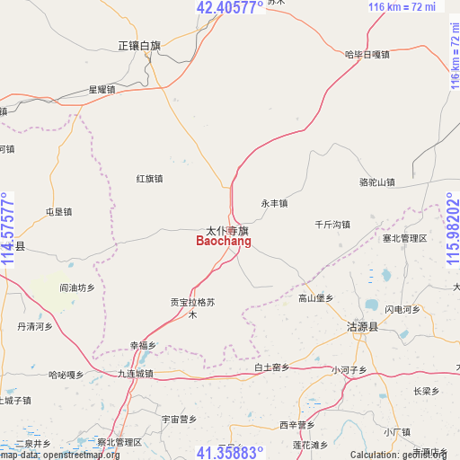
Baochang GPS coordinates[2]
41° 53' 3.984" North, 115° 16' 44.004" East
| Map corner | latitude | longitude |
|---|---|---|
| Upper-left | 42.40577°, | 114.57577° |
| Center: | 41.88444°, | 115.27889° |
| Lower-right: | 41.35883°, | 115.98202° |
| Map W x H: | 116.4×116.4 km | = 72.3×72.3mi |
| max Lat: | 53.31946° ⇑9.2% North |
| Baochang: | 41.88444° |
| min Lat: | ⇓90.8% South 18.22056° |
| min Long | Baochang | max Long |
| 75.07348° | 115.27889° | 134.28917° |
| W 55.7%⇐ | ⇒44.3% E |
Elevation
Elevation of Baochang is 1456 m = 4777 ft, and this is 971.2 m = 3186 ft above average elevation for this country.
| Max E: |
5622 m = 18445 ft | 9% |
| Baochang | 1456 m 4777 ft | |
| Avg. | 484.8 m = 1591 ft | |
Min E: |
-3 m = -10 ft | 91% |
See also: China elevation on elevation.city.
Geographical zone
Baochang is located in North temperate zone (between Tropic of Cancer and the Arctic Circle). Distance of this Northern Tropic circle is 2051.2 km =1274.6 mi to South.| Distance of | km | miles | from Baochang |
|---|---|---|---|
| North Pole | 5349.9 | 3324.3 | to North |
| Arctic Circle | 2744.1 | 1705.1 | to North |
| Tropic Cancer | 2051.2 | 1274.6 | to South |
| Equator | 4657.1 | 2893.8 | to South |


Nearby cities:
15 places around Baochang: (largest is in red/bold)
• Changshun
106.5 km =66.2 mi,  270°
270°
• Chicheng
122.3 km =76 mi,  157°
157°
• Dage
136.8 km =85 mi,  123°
123°
• Duolun
105.5 km =65.6 mi,  71°
71°
• Kangbao
55.2 km =34.3 mi, 265°
• Kongjiazhuang
134.1 km =83.3 mi,  200°
200°
• Ming’antu
52.1 km =32.4 mi,  333°
333°
• Nanhaoqian
142.5 km =88.5 mi,  230°
230°
• Pingdingbu
42.4 km =26.3 mi,  125°
125°
• Shangdu
72.6 km =45.1 mi,  55°
55°
• Xin Bulag
125.4 km =77.9 mi,  288°
288°
• Xiwanzi
101.5 km =63.1 mi,  180°
180°
• Zhangbei
94.3 km =58.6 mi,  210°
210°
• Zhangjiakou
124 km =77.1 mi, 195°
• Zhangjiakou Shi Xuanhua Qu
143 km =88.9 mi,  187°
187°
Sources, notices
• [Note1] Compared only with cities in China existing in our database
• [Src1] Map data: © OpenStreetMap contributors (CC-BY-SA)
• [Src2] Other city data from geonames.org with taken over terms of usage.
• [Src3] Geographical zone / Annual Mean Temperature by Robert A. Rohde @ Wikipedia
