Weihe geodata
Weihe (Gansu) is a seat of a fourth-order administrative division; located in China in Asia/Shanghai (GMT+8) time zone. In our database, there are 1268 cities with bigger population. Compared to other cities in China, 66% of cities are located further ↓South; 88.5% of cities are located further →East and 89% of cities have lower elevation than Weihe. Note1


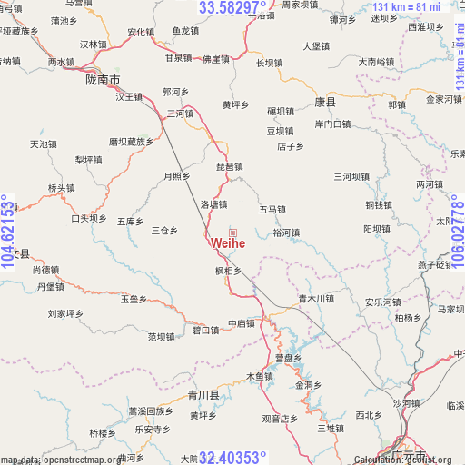
Weihe GPS coordinates[2]
32° 59' 42.792" North, 105° 19' 28.74" East
| Map corner | latitude | longitude |
|---|---|---|
| Upper-left | 33.58297°, | 104.62153° |
| Center: | 32.99522°, | 105.32465° |
| Lower-right: | 32.40353°, | 106.02778° |
| Map W x H: | 131.1×131.1 km | = 81.5×81.5mi |
| max Lat: | 53.31946° ⇑34% North |
| Weihe: | 32.99522° |
| min Lat: | ⇓66% South 18.22056° |
| min Long | Weihe | max Long |
| 75.07348° | 105.32465° | 134.28917° |
| W 11.5%⇐ | ⇒88.5% E |
Elevation
Elevation of Weihe is 1271 m = 4170 ft, and this is 786.2 m = 2579 ft above average elevation for this country.
| Max E: |
5622 m = 18445 ft | 11% |
| Weihe | 1271 m 4170 ft | |
| Avg. | 484.8 m = 1591 ft | |
Min E: |
-3 m = -10 ft | 89% |
See also: China elevation on elevation.city.
Geographical zone
Weihe is located in North temperate zone (between Tropic of Cancer and the Arctic Circle). Distance of this Northern Tropic circle is 1062.8 km =660.4 mi to South.| Distance of | km | miles | from Weihe |
|---|---|---|---|
| North Pole | 6338.3 | 3938.4 | to North |
| Arctic Circle | 3732.4 | 2319.2 | to North |
| Tropic Cancer | 1062.8 | 660.4 | to South |
| Equator | 3668.7 | 2279.6 | to South |


Nearby cities:
15 places around Weihe: (largest is in red/bold)
• Caohe
23.7 km =14.7 mi,  253°
253°
• Dianzi
30 km =18.6 mi,  33°
33°
• Douba
32 km =19.9 mi,  24°
24°
• Fengxiang
10.4 km =6.5 mi,  186°
186°
• Luotang
9.8 km =6.1 mi,  325°
325°
• Pandi
13.3 km =8.3 mi,  280°
280°
• Pipa
19.1 km =11.9 mi,  356°
356°
• Sancang
19.7 km =12.2 mi, 276°
• Waina
34.7 km =21.6 mi,  312°
312°
• Wuku
29.2 km =18.1 mi, 277°
• Wuma
13.4 km =8.3 mi,  55°
55°
• Xizhi
9.5 km =5.9 mi, 18°
• Yuezhao
22.2 km =13.8 mi,  316°
316°
• Yuhe
15.1 km =9.4 mi,  88°
88°
• Yuhuang
34.3 km =21.3 mi,  344°
344°
Sources, notices
• [Note1] Compared only with cities in China existing in our database
• [Src1] Map data: © OpenStreetMap contributors (CC-BY-SA)
• [Src2] Other city data from geonames.org with taken over terms of usage.
• [Src3] Geographical zone / Annual Mean Temperature by Robert A. Rohde @ Wikipedia
