Tiebukenwusan geodata
Tiebukenwusan (Heilongjiang) is a seat of a fourth-order administrative division; located in China in Asia/Urumqi (GMT+6) time zone. In our database, there are 1268 cities with bigger population. Compared to other cities in China, 96.5% of cities are located further ↓South; 98.5% of cities are located further →East and 89.8% of cities have lower elevation than Tiebukenwusan. Note1


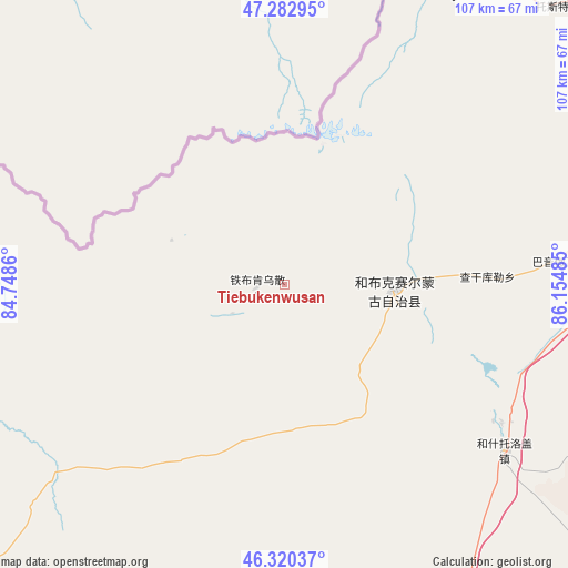
Tiebukenwusan GPS coordinates[2]
46° 48' 13.716" North, 85° 27' 6.192" East
| Map corner | latitude | longitude |
|---|---|---|
| Upper-left | 47.28295°, | 84.7486° |
| Center: | 46.80381°, | 85.45172° |
| Lower-right: | 46.32037°, | 86.15485° |
| Map W x H: | 107×107 km | = 66.5×66.5mi |
| max Lat: | 53.31946° ⇑3.5% North |
| Tiebukenwusan: | 46.80381° |
| min Lat: | ⇓96.5% South 18.22056° |
| min Long | Tiebukenwusan | max Long |
| 75.07348° | 85.45172° | 134.28917° |
| W 1.5%⇐ | ⇒98.5% E |
Elevation
Elevation of Tiebukenwusan is 1341 m = 4400 ft, and this is 856.2 m = 2809 ft above average elevation for this country.
| Max E: |
5622 m = 18445 ft | 10.2% |
| Tiebukenwusan | 1341 m 4400 ft | |
| Avg. | 484.8 m = 1591 ft | |
Min E: |
-3 m = -10 ft | 89.8% |
See also: China elevation on elevation.city.
Geographical zone
Tiebukenwusan is located in North temperate zone (between Tropic of Cancer and the Arctic Circle). Distance of this North polar circle is 2197.1 km =1365.2 mi to North.| Distance of | km | miles | from Tiebukenwusan |
|---|---|---|---|
| North Pole | 4803 | 2984.4 | to North |
| Arctic Circle | 2197.1 | 1365.2 | to North |
| Tropic Cancer | 2598.2 | 1614.4 | to South |
| Equator | 5204.1 | 3233.7 | to South |


Nearby cities:
15 places around Tiebukenwusan: (largest is in red/bold)
• Baikouquan
98.5 km =61.2 mi,  178°
178°
• Bayinaobao
52.2 km =32.4 mi,  85°
85°
• Besterek
64.4 km =40 mi,  30°
30°
• Hoboksar
20.9 km =13 mi, 92°
• Hoxtolgay
52.6 km =32.7 mi,  127°
127°
• Jeminay
78.4 km =48.7 mi,  9°
9°
• Kalayemule
83.3 km =51.8 mi,  266°
266°
• Karjaw
83.7 km =52 mi,  59°
59°
• Motge
26.3 km =16.3 mi, 87°
• Qagan Hol
38.4 km =23.9 mi, 87°
• Topterek
76.9 km =47.8 mi,  24°
24°
• Tost
73.2 km =45.5 mi,  44°
44°
• Urho
78.4 km =48.7 mi,  167°
167°
• Xalxikay
98.6 km =61.3 mi, 35°
• Xazgat
78.7 km =48.9 mi, 130°
Sources, notices
• [Note1] Compared only with cities in China existing in our database
• [Src1] Map data: © OpenStreetMap contributors (CC-BY-SA)
• [Src2] Other city data from geonames.org with taken over terms of usage.
• [Src3] Geographical zone / Annual Mean Temperature by Robert A. Rohde @ Wikipedia
