Zham geodata
Zham (Tibet) is a seat of a fourth-order administrative division; located in China in Asia/Shanghai (GMT+8) time zone. In our database, there are 1268 cities with bigger population. Compared to other cities in China, 74.2% of cities are located further ↑North; 98.4% of cities are located further →East and 95.9% of cities have lower elevation than Zham. Note1


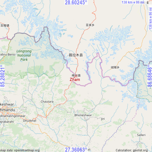
Zham GPS coordinates[2]
27° 58' 59.988" North, 85° 58' 59.988" East
| Map corner | latitude | longitude |
|---|---|---|
| Upper-left | 28.60245°, | 85.28021° |
| Center: | 27.98333°, | 85.98333° |
| Lower-right: | 27.36063°, | 86.68646° |
| Map W x H: | 138.1×138.1 km | = 85.8×85.8mi |
| max Lat: | 53.31946° ⇑74.2% North |
| Zham: | 27.98333° |
| min Lat: | ⇓25.8% South 18.22056° |
| min Long | Zham | max Long |
| 75.07348° | 85.98333° | 134.28917° |
| W 1.6%⇐ | ⇒98.4% E |
Elevation
Elevation of Zham is 2496 m = 8189 ft, and this is 2011.2 m = 6598 ft above average elevation for this country.
| Max E: |
5622 m = 18445 ft | 4.1% |
| Zham | 2496 m 8189 ft | |
| Avg. | 484.8 m = 1591 ft | |
Min E: |
-3 m = -10 ft | 95.9% |
See also: China elevation on elevation.city.
Geographical zone
Zham is located in North temperate zone (between Tropic of Cancer and the Arctic Circle). Distance of this Northern Tropic circle is 505.5 km =314.1 mi to South.| Distance of | km | miles | from Zham |
|---|---|---|---|
| North Pole | 6895.6 | 4284.7 | to North |
| Arctic Circle | 4289.7 | 2665.5 | to North |
| Tropic Cancer | 505.5 | 314.1 | to South |
| Equator | 3111.5 | 1933.4 | to South |


Nearby cities:
15 places around Zham: (largest is in red/bold)
• Camgyai
31.1 km =19.3 mi,  86°
86°
• Chongdui
18.6 km =11.6 mi,  354°
354°
• Gangba
245.7 km =152.7 mi,  83°
83°
• Gyangkar
184 km =114.3 mi, 75°
• Jiding
269.3 km =167.3 mi,  55°
55°
• Kambaxoi
252.5 km =156.9 mi, 81°
• Ngamring
180.7 km =112.3 mi,  39°
39°
• Quxar
204.7 km =127.2 mi,  52°
52°
• Saga
166.3 km =103.3 mi,  333°
333°
• Sajia
227.1 km =141.1 mi, 62°
• Xarsingma
297.3 km =184.7 mi,  100°
100°
• Xêgar
129.7 km =80.6 mi, 56°
• Zhadong
256.2 km =159.2 mi,  316°
316°
• Zongga
133.8 km =83.1 mi, 327°
• Zuobude
31.5 km =19.6 mi, 86°
Sources, notices
• [Note1] Compared only with cities in China existing in our database
• [Src1] Map data: © OpenStreetMap contributors (CC-BY-SA)
• [Src2] Other city data from geonames.org with taken over terms of usage.
• [Src3] Geographical zone / Annual Mean Temperature by Robert A. Rohde @ Wikipedia
