Chongdui geodata
Chongdui (Tibet) is a seat of a third-order administrative division; located in China in Asia/Shanghai (GMT+8) time zone. In our database, there are 1268 cities with bigger population. Compared to other cities in China, 72.9% of cities are located further ↑North; 98.4% of cities are located further →East and 98.7% of cities have lower elevation than Chongdui. Note1


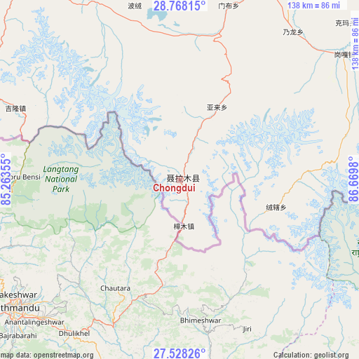
Chongdui GPS coordinates[2]
28° 9' 0" North, 85° 58' 0.012" East
| Map corner | latitude | longitude |
|---|---|---|
| Upper-left | 28.76815°, | 85.26355° |
| Center: | 28.15°, | 85.96667° |
| Lower-right: | 27.52826°, | 86.6698° |
| Map W x H: | 137.9×137.9 km | = 85.7×85.7mi |
| max Lat: | 53.31946° ⇑72.9% North |
| Chongdui: | 28.15° |
| min Lat: | ⇓27.1% South 18.22056° |
| min Long | Chongdui | max Long |
| 75.07348° | 85.96667° | 134.28917° |
| W 1.6%⇐ | ⇒98.4% E |
Elevation
Elevation of Chongdui is 4063 m = 13330 ft, and this is 3578.2 m = 11740 ft above average elevation for this country.
| Max E: |
5622 m = 18445 ft | 1.3% |
| Chongdui | 4063 m 13330 ft | |
| Avg. | 484.8 m = 1591 ft | |
Min E: |
-3 m = -10 ft | 98.7% |
See also: China elevation on elevation.city.
Geographical zone
Chongdui is located in North temperate zone (between Tropic of Cancer and the Arctic Circle). Distance of this Northern Tropic circle is 524.1 km =325.7 mi to South.| Distance of | km | miles | from Chongdui |
|---|---|---|---|
| North Pole | 6877.1 | 4273.2 | to North |
| Arctic Circle | 4271.2 | 2654 | to North |
| Tropic Cancer | 524.1 | 325.7 | to South |
| Equator | 3130 | 1944.9 | to South |


Nearby cities:
15 places around Chongdui: (largest is in red/bold)
• Camgyai
36.7 km =22.8 mi,  117°
117°
• Gangba
245.9 km =152.8 mi,  88°
88°
• Gyangkar
181.7 km =112.9 mi,  81°
81°
• Jiding
260.4 km =161.8 mi,  58°
58°
• Jiru
302.1 km =187.7 mi, 89°
• Kambaxoi
252 km =156.6 mi, 86°
• Ngamring
168 km =104.4 mi,  44°
44°
• Quxar
195.3 km =121.4 mi, 57°
• Saga
149.1 km =92.6 mi,  331°
331°
• Sajia
220.6 km =137.1 mi,  67°
67°
• Xêgar
121.7 km =75.6 mi, 63°
• Zhadong
241.9 km =150.3 mi,  313°
313°
• Zham
18.6 km =11.6 mi,  174°
174°
• Zongga
117.6 km =73.1 mi,  323°
323°
• Zuobude
36.8 km =22.9 mi, 116°
Sources, notices
• [Note1] Compared only with cities in China existing in our database
• [Src1] Map data: © OpenStreetMap contributors (CC-BY-SA)
• [Src2] Other city data from geonames.org with taken over terms of usage.
• [Src3] Geographical zone / Annual Mean Temperature by Robert A. Rohde @ Wikipedia
