Guavatá geodata
Guavatá (Santander) is a seat of a second-order administrative division; located in Colombia in America/Bogota (GMT-5) time zone. With population of 943 people, there are 955 cities with bigger population in this country. Compared to other cities in Colombia, 58.3% of cities are located further ↓South; 71.5% of cities are located further ←West and 78.2% of cities have lower elevation than Guavatá. Note1


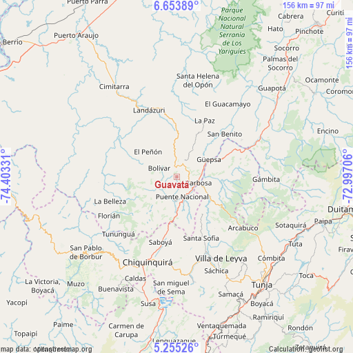
Guavatá GPS coordinates[2]
5° 57' 18.072" North, 73° 42' 0.648" West
| Map corner | latitude | longitude |
|---|---|---|
| Upper-left | 6.65389°, | -74.40331° |
| Center: | 5.95502°, | -73.70018° |
| Lower-right: | 5.25526°, | -72.99706° |
| Map W x H: | 155.5×155.5 km | = 96.6×96.6mi |
| max Lat: | 13.38166° ⇑41.7% North |
| Guavatá: | 5.95502° |
| min Lat: | ⇓58.3% South -4.21528° |
| min Long | Guavatá | max Long |
| -81.70636° | -73.70018° | -67.06996° |
| W 71.5%⇐ | ⇒28.5% E |
Elevation
Elevation of Guavatá is 1978 m = 6490 ft, and this is 828.7 m = 2719 ft above average elevation for this country.
| Max E: |
3342 m = 10965 ft | 21.8% |
| Guavatá | 1978 m 6490 ft | |
| Avg. | 1149.3 m = 3771 ft | |
Min E: |
1 m = 3 ft | 78.2% |
See also: Colombia elevation on elevation.city.
Geographical zone
Guavatá is located in North Torrid zone (between Equator and Tropic of Cancer). Distance of Equator is 662.1 km =411.4 mi to South.| Distance of | km | miles | from Guavatá |
|---|---|---|---|
| North Pole | 9344.9 | 5806.6 | to North |
| Arctic Circle | 6739 | 4187.4 | to North |
| Tropic Cancer | 1943.8 | 1207.8 | to North |
| Equator | 662.1 | 411.4 | to South |


Nearby cities:
15 places around Guavatá: (largest is in red/bold)
• Barbosa
9.8 km =6.1 mi,  105°
105°
• Bolívar
8.7 km =5.4 mi,  296°
296°
• Chipatá
13.8 km =8.6 mi,  30°
30°
• El Peñón
16.9 km =10.5 mi,  311°
311°
• Gachantivá
28.3 km =17.6 mi,  141°
141°
• Güepsa
16.1 km =10 mi,  61°
61°
• Jesús María
12.4 km =7.7 mi,  225°
225°
• La Paz
27.7 km =17.2 mi, 26°
• Moniquirá
16.6 km =10.3 mi,  121°
121°
• Puente Nacional
9 km =5.6 mi,  164°
164°
• San José de Pare
18.3 km =11.4 mi,  67°
67°
• Santana
26.8 km =16.7 mi, 64°
• Sucre
10.9 km =6.8 mi,  247°
247°
• Togüí
20.8 km =12.9 mi,  96°
96°
• Vélez
7.1 km =4.4 mi,  24°
24°
Sources, notices
• [Note1] Compared only with cities in Colombia existing in our database
• [Src1] Map data: © OpenStreetMap contributors (CC-BY-SA)
• [Src2] Other city data from geonames.org with taken over terms of usage.
• [Src3] Geographical zone / Annual Mean Temperature by Robert A. Rohde @ Wikipedia
