El Molino geodata
El Molino (La Guajira) is a seat of a second-order administrative division; located in Colombia in America/Bogota (GMT-5) time zone. With population of 5,265 people, there are 491 cities with bigger population in this country. Compared to other cities in Colombia, 97.2% of cities are located further ↓South; 88.2% of cities are located further ←West and 69.6% of cities have higher elevation than El Molino. Note1


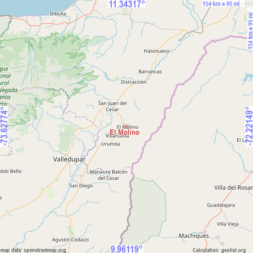
El Molino GPS coordinates[2]
10° 39' 10.656" North, 72° 55' 28.596" West
| Map corner | latitude | longitude |
|---|---|---|
| Upper-left | 11.34317°, | -73.62774° |
| Center: | 10.65296°, | -72.92461° |
| Lower-right: | 9.96119°, | -72.22149° |
| Map W x H: | 153.7×153.7 km | = 95.5×95.5mi |
| max Lat: | 13.38166° ⇑2.8% North |
| El Molino: | 10.65296° |
| min Lat: | ⇓97.2% South -4.21528° |
| min Long | El Molino | max Long |
| -81.70636° | -72.92461° | -67.06996° |
| W 88.2%⇐ | ⇒11.8% E |
Elevation
Elevation of El Molino is 303 m = 994 ft, and this is 846.3 m = 2777 ft below average elevation for this country.
| Max E: |
3342 m = 10965 ft | 69.6% |
| Avg. | 1149.3 m = 3771 ft | |
| El Molino | 303 m = 994 ft | |
Min E: |
1 m = 3 ft | 30.4% |
See also: Colombia elevation on elevation.city.
Geographical zone
El Molino is located in North Torrid zone (between Equator and Tropic of Cancer). Distance of Equator is 1184.5 km =736 mi to South.| Distance of | km | miles | from El Molino |
|---|---|---|---|
| North Pole | 8822.6 | 5482.1 | to North |
| Arctic Circle | 6216.7 | 3862.9 | to North |
| Tropic Cancer | 1421.4 | 883.2 | to North |
| Equator | 1184.5 | 736 | to South |


Nearby cities:
15 places around El Molino: (largest is in red/bold)
• Agustín Codazzi
76.5 km =47.5 mi,  206°
206°
• Albania
67.1 km =41.7 mi,  32°
32°
• Barrancas
36.6 km =22.7 mi,  22°
22°
• Dibulla
80.7 km =50.1 mi,  328°
328°
• Distracción
27.5 km =17.1 mi,  8°
8°
• Fonseca
27.2 km =16.9 mi, 17°
• La Jagua del Pilar
22.6 km =14 mi,  225°
225°
• La Paz
40.4 km =25.1 mi,  222°
222°
• Manaure Balcón del Cesar
31.2 km =19.4 mi,  202°
202°
• Pueblo Bello
76.3 km =47.4 mi,  249°
249°
• San Diego
45.1 km =28 mi, 218°
• San Juan del Cesar
15.7 km =9.8 mi, 326°
• Urumita
14.2 km =8.8 mi, 222°
• Valledupar
41.7 km =25.9 mi,  239°
239°
• Villanueva
7.8 km =4.8 mi, 229°
Sources, notices
• [Note1] Compared only with cities in Colombia existing in our database
• [Src1] Map data: © OpenStreetMap contributors (CC-BY-SA)
• [Src2] Other city data from geonames.org with taken over terms of usage.
• [Src3] Geographical zone / Annual Mean Temperature by Robert A. Rohde @ Wikipedia
