Cravo Norte geodata
Cravo Norte (Arauca) is a seat of a second-order administrative division; located in Colombia in America/Bogota (GMT-5) time zone. With population of 4,787 people, there are 526 cities with bigger population in this country. Compared to other cities in Colombia, 64.7% of cities are located further ↓South; 99.5% of cities are located further ←West and 81% of cities have higher elevation than Cravo Norte. Note1


Cravo Norte GPS coordinates[2]
6° 18' 6.228" North, 70° 12' 14.94" West
| Map corner | latitude | longitude |
|---|---|---|
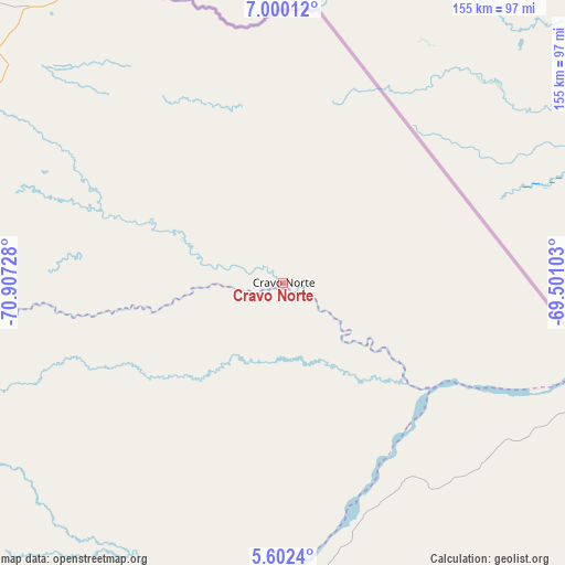
| Upper-left | 7.00012°, | -70.90728° |
| Center: | 6.30173°, | -70.20415° |
| Lower-right: | 5.6024°, | -69.50103° |
| Map W x H: | 155.4×155.4 km | = 96.6×96.6mi |
| max Lat: | 13.38166° ⇑35.3% North |
| Cravo Norte: | 6.30173° |
| min Lat: | ⇓64.7% South -4.21528° |
| min Long | Cravo Norte | max Long |
| -81.70636° | -70.20415° | -67.06996° |
| W 99.5%⇐ | ⇒0.5% E |
Elevation
Elevation of Cravo Norte is 103 m = 338 ft, and this is 1046.3 m = 3433 ft below average elevation for this country.
| Max E: |
3342 m = 10965 ft | 81% |
| Avg. | 1149.3 m = 3771 ft | |
| Cravo Norte | 103 m = 338 ft | |
Min E: |
1 m = 3 ft | 19% |
See also: Colombia elevation on elevation.city.
Geographical zone
Cravo Norte is located in North Torrid zone (between Equator and Tropic of Cancer). Distance of Equator is 700.7 km =435.4 mi to South.| Distance of | km | miles | from Cravo Norte |
|---|---|---|---|
| North Pole | 9306.4 | 5782.7 | to North |
| Arctic Circle | 6700.5 | 4163.5 | to North |
| Tropic Cancer | 1905.2 | 1183.8 | to North |
| Equator | 700.7 | 435.4 | to South |


Nearby cities:
15 places around Cravo Norte: (largest is in red/bold)
• Arauca
106.5 km =66.2 mi,  324°
324°
• Arauquita
157.5 km =97.9 mi,  300°
300°
• Cumaribo
211.2 km =131.2 mi,  167°
167°
• Fortul
182 km =113.1 mi,  287°
287°
• La Primavera
93 km =57.8 mi,  194°
194°
• Municipio Hato Corozal
173.1 km =107.6 mi,  264°
264°
• Orocué
209.8 km =130.4 mi,  216°
216°
• Paz de Ariporo
192.3 km =119.5 mi, 255°
• Pore
207.8 km =129.1 mi,  252°
252°
• Puerto Rondón
99 km =61.5 mi,  268°
268°
• San Luis de Palenque
195.3 km =121.4 mi,  239°
239°
• Santa Rosalia
148.9 km =92.5 mi,  209°
209°
• Saravena
199.4 km =123.9 mi, 291°
• Tame
170.2 km =105.8 mi,  275°
275°
• Trinidad
189.4 km =117.7 mi, 238°
Sources, notices
• [Note1] Compared only with cities in Colombia existing in our database
• [Src1] Map data: © OpenStreetMap contributors (CC-BY-SA)
• [Src2] Other city data from geonames.org with taken over terms of usage.
• [Src3] Geographical zone / Annual Mean Temperature by Robert A. Rohde @ Wikipedia
