Municipio Hato Corozal geodata
Municipio Hato Corozal (Casanare) is a populated place; located in Colombia in America/Bogota (GMT-5) time zone. With population of 2,640 people, there are 723 cities with bigger population in this country. Compared to other cities in Colombia, 62.4% of cities are located further ↓South; 98.4% of cities are located further ←West and 71.8% of cities have higher elevation than Municipio Hato Corozal. Note1
Current local time in Municipio Hato Corozal:
09:36 AM, WednesdayDifference from your time zone: hours


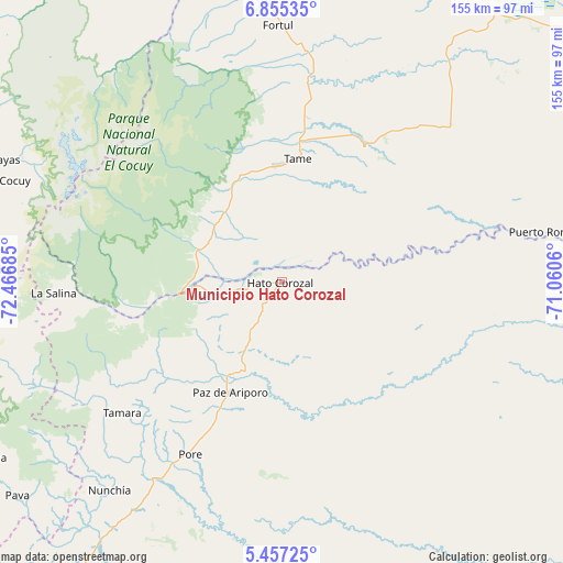
Municipio Hato Corozal GPS coordinates[2]
6° 9' 24.336" North, 71° 45' 49.392" West
| Map corner | latitude | longitude |
|---|---|---|
| Upper-left | 6.85535°, | -72.46685° |
| Center: | 6.15676°, | -71.76372° |
| Lower-right: | 5.45725°, | -71.0606° |
| Map W x H: | 155.5×155.5 km | = 96.6×96.6mi |
| max Lat: | 13.38166° ⇑37.6% North |
| Municipio Hato Corozal: | 6.15676° |
| min Lat: | ⇓62.4% South -4.21528° |
| min Long | Municipio Hato | max Long |
| -81.70636° | -71.76372° | -67.06996° |
| W 98.4%⇐ | ⇒1.6% E |
Elevation
Elevation of Municipio Hato Corozal is 256 m = 840 ft, and this is 893.3 m = 2931 ft below average elevation for this country.
| Max E: |
3342 m = 10965 ft | 71.8% |
| Avg. | 1149.3 m = 3771 ft | |
| Municipio Hato Corozal | 256 m = 840 ft | |
Min E: |
1 m = 3 ft | 28.2% |
See also: Colombia elevation on elevation.city.
Geographical zone
Municipio Hato Corozal is located in North Torrid zone (between Equator and Tropic of Cancer). Distance of Equator is 684.6 km =425.4 mi to South.| Distance of | km | miles | from Municipio Hato Corozal |
|---|---|---|---|
| North Pole | 9322.5 | 5792.7 | to North |
| Arctic Circle | 6716.6 | 4173.5 | to North |
| Tropic Cancer | 1921.4 | 1193.9 | to North |
| Equator | 684.6 | 425.4 | to South |


Nearby cities:
15 places around Municipio Hato Corozal: (largest is in red/bold)
• Chita
78.8 km =49 mi,  272°
272°
• El Cocuy
80.8 km =50.2 mi,  290°
290°
• Fortul
70.7 km =43.9 mi,  358°
358°
• Güicán
79.8 km =49.6 mi,  295°
295°
• La Salina
63.6 km =39.5 mi, 267°
• Nunchía
75.1 km =46.7 mi,  219°
219°
• Panqueba
83.6 km =51.9 mi, 292°
• Paz de Ariporo
33.7 km =20.9 mi,  204°
204°
• Pore
54 km =33.6 mi,  207°
207°
• Puerto Rondón
74.6 km =46.4 mi,  79°
79°
• San Luis de Palenque
81.8 km =50.8 mi,  177°
177°
• Sácama
54 km =33.6 mi,  263°
263°
• Tame
33.9 km =21.1 mi,  5°
5°
• Trinidad
84 km =52.2 mi,  172°
172°
• Támara
57.2 km =35.5 mi,  230°
230°
Sources, notices
• [Note1] Compared only with cities in Colombia existing in our database
• [Src1] Map data: © OpenStreetMap contributors (CC-BY-SA)
• [Src2] Other city data from geonames.org with taken over terms of usage.
• [Src3] Geographical zone / Annual Mean Temperature by Robert A. Rohde @ Wikipedia
