Calamar geodata
Calamar (Guaviare) is a seat of a second-order administrative division; located in Colombia in America/Bogota (GMT-5) time zone. With population of 3,745 people, there are 609 cities with bigger population in this country. Compared to other cities in Colombia, 90.4% of cities are located further ↑North; 93.3% of cities are located further ←West and 73.6% of cities have higher elevation than Calamar. Note1


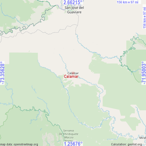
Calamar GPS coordinates[2]
1° 57' 34.56" North, 72° 39' 11.34" West
| Map corner | latitude | longitude |
|---|---|---|
| Upper-left | 2.66215°, | -73.35628° |
| Center: | 1.9596°, | -72.65315° |
| Lower-right: | 1.25676°, | -71.95003° |
| Map W x H: | 156.3×156.3 km | = 97.1×97.1mi |
| max Lat: | 13.38166° ⇑90.4% North |
| Calamar: | 1.9596° |
| min Lat: | ⇓9.6% South -4.21528° |
| min Long | Calamar | max Long |
| -81.70636° | -72.65315° | -67.06996° |
| W 93.3%⇐ | ⇒6.7% E |
Elevation
Elevation of Calamar is 221 m = 725 ft, and this is 928.3 m = 3046 ft below average elevation for this country.
| Max E: |
3342 m = 10965 ft | 73.6% |
| Avg. | 1149.3 m = 3771 ft | |
| Calamar | 221 m = 725 ft | |
Min E: |
1 m = 3 ft | 26.4% |
See also: Colombia elevation on elevation.city.
Geographical zone
Calamar is located in North Torrid zone (between Equator and Tropic of Cancer). Distance of Equator is 217.9 km =135.4 mi to South.| Distance of | km | miles | from Calamar |
|---|---|---|---|
| North Pole | 9789.2 | 6082.7 | to North |
| Arctic Circle | 7183.3 | 4463.5 | to North |
| Tropic Cancer | 2388 | 1483.8 | to North |
| Equator | 217.9 | 135.4 | to South |


Nearby cities:
15 places around Calamar: (largest is in red/bold)
• Carurú
183.9 km =114.3 mi,  124°
124°
• El Dorado
93.7 km =58.2 mi,  345°
345°
• El Retorno
41.3 km =25.7 mi,  3°
3°
• Fuente de Oro
198.7 km =123.5 mi,  327°
327°
• La Macarena
128.4 km =79.8 mi,  281°
281°
• Mapiripán
118.6 km =73.7 mi,  29°
29°
• Miraflores
104.3 km =64.8 mi,  131°
131°
• Puerto Concordia
74.6 km =46.4 mi, 351°
• Puerto Lleras
144.7 km =89.9 mi,  324°
324°
• Puerto Lleras
166.3 km =103.3 mi, 331°
• Puerto Yuca
125.1 km =77.7 mi, 330°
• San Carlos de Guaroa
205.5 km =127.7 mi,  341°
341°
• San José del Guaviare
68.2 km =42.4 mi, 0°
• San Juan de Arama
207.2 km =128.7 mi, 319°
• Vistahermosa
177.9 km =110.5 mi, 316°
Sources, notices
• [Note1] Compared only with cities in Colombia existing in our database
• [Src1] Map data: © OpenStreetMap contributors (CC-BY-SA)
• [Src2] Other city data from geonames.org with taken over terms of usage.
• [Src3] Geographical zone / Annual Mean Temperature by Robert A. Rohde @ Wikipedia
