El Retorno geodata
El Retorno (Guaviare) is a seat of a second-order administrative division; located in Colombia in America/Bogota (GMT-5) time zone. With population of 3,362 people, there are 650 cities with bigger population in this country. Compared to other cities in Colombia, 88.3% of cities are located further ↑North; 94% of cities are located further ←West and 74.2% of cities have higher elevation than El Retorno. Note1


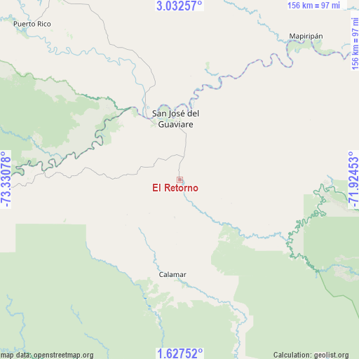
El Retorno GPS coordinates[2]
2° 19' 48.792" North, 72° 37' 39.54" West
| Map corner | latitude | longitude |
|---|---|---|
| Upper-left | 3.03257°, | -73.33078° |
| Center: | 2.33022°, | -72.62765° |
| Lower-right: | 1.62752°, | -71.92453° |
| Map W x H: | 156.2×156.2 km | = 97.1×97.1mi |
| max Lat: | 13.38166° ⇑88.3% North |
| El Retorno: | 2.33022° |
| min Lat: | ⇓11.7% South -4.21528° |
| min Long | El Retorno | max Long |
| -81.70636° | -72.62765° | -67.06996° |
| W 94%⇐ | ⇒6% E |
Elevation
Elevation of El Retorno is 205 m = 673 ft, and this is 944.3 m = 3098 ft below average elevation for this country.
| Max E: |
3342 m = 10965 ft | 74.2% |
| Avg. | 1149.3 m = 3771 ft | |
| El Retorno | 205 m = 673 ft | |
Min E: |
1 m = 3 ft | 25.8% |
See also: Colombia elevation on elevation.city.
Geographical zone
El Retorno is located in North Torrid zone (between Equator and Tropic of Cancer). Distance of Equator is 259.1 km =161 mi to South.| Distance of | km | miles | from El Retorno |
|---|---|---|---|
| North Pole | 9748 | 6057.1 | to North |
| Arctic Circle | 7142.1 | 4437.9 | to North |
| Tropic Cancer | 2346.8 | 1458.2 | to North |
| Equator | 259.1 | 161 | to South |


Nearby cities:
15 places around El Retorno: (largest is in red/bold)
• Calamar
41.3 km =25.7 mi,  183°
183°
• El Dorado
56.1 km =34.9 mi,  331°
331°
• Fuente de Oro
167.4 km =104 mi,  318°
318°
• Granada
180.7 km =112.3 mi, 318°
• La Macarena
129.9 km =80.7 mi,  262°
262°
• Mapiripán
83.1 km =51.6 mi,  41°
41°
• Miraflores
133.6 km =83 mi,  145°
145°
• Puerto Concordia
35.5 km =22.1 mi,  336°
336°
• Puerto Lleras
115.6 km =71.8 mi,  311°
311°
• Puerto Lleras
133.4 km =82.9 mi, 321°
• Puerto Yuca
93.4 km =58 mi, 316°
• San Carlos de Guaroa
168.1 km =104.5 mi, 336°
• San José del Guaviare
27.1 km =16.8 mi,  355°
355°
• San Juan de Arama
180.2 km =112 mi, 309°
• Vistahermosa
152.9 km =95 mi, 305°
Sources, notices
• [Note1] Compared only with cities in Colombia existing in our database
• [Src1] Map data: © OpenStreetMap contributors (CC-BY-SA)
• [Src2] Other city data from geonames.org with taken over terms of usage.
• [Src3] Geographical zone / Annual Mean Temperature by Robert A. Rohde @ Wikipedia
