Zschepplin geodata
Zschepplin (Saxony) is a seat of a fourth-order administrative division; located in Germany in Europe/Berlin (GMT+2) time zone. With population of 3,373 people, there are 3701 cities with bigger population in this country. Compared to other cities in Germany, 66.3% of cities are located further ↓South; 88.9% of cities are located further ←West and 67% of cities have higher elevation than Zschepplin. Note1


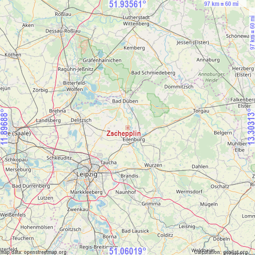
Zschepplin GPS coordinates[2]
51° 30' 0" North, 12° 36' 0" East
| Map corner | latitude | longitude |
|---|---|---|
| Upper-left | 51.93561°, | 11.89688° |
| Center: | 51.5°, | 12.6° |
| Lower-right: | 51.06019°, | 13.30313° |
| Map W x H: | 97.3×97.3 km | = 60.5×60.5mi |
| max Lat: | 55.01917° ⇑33.7% North |
| Zschepplin: | 51.5° |
| min Lat: | ⇓66.3% South 47.40724° |
| min Long | Zschepplin | max Long |
| 5.92978° | 12.6° | 14.98853° |
| W 88.9%⇐ | ⇒11.1% E |
Elevation
Elevation of Zschepplin is 108 m = 354 ft, and this is 141.1 m = 463 ft below average elevation for this country.
| Max E: |
1256 m = 4121 ft | 67% |
| Avg. | 249.1 m = 817 ft | |
| Zschepplin | 108 m = 354 ft | |
Min E: |
-5 m = -16 ft | 33% |
See also: Germany elevation on elevation.city.
Geographical zone
Zschepplin is located in North temperate zone (between Tropic of Cancer and the Arctic Circle). Distance of this North polar circle is 1674.9 km =1040.7 mi to North.| Distance of | km | miles | from Zschepplin |
|---|---|---|---|
| North Pole | 4280.8 | 2660 | to North |
| Arctic Circle | 1674.9 | 1040.7 | to North |
| Tropic Cancer | 3120.3 | 1938.9 | to South |
| Equator | 5726.3 | 3558.2 | to South |


Nearby cities:
15 places around Zschepplin: (largest is in red/bold)
• Bad Düben
10.3 km =6.4 mi,  354°
354°
• Doberschütz
10.2 km =6.3 mi,  90°
90°
• Eilenburg
5 km =3.1 mi,  152°
152°
• Jesewitz
9 km =5.6 mi,  196°
196°
• Kossa
14.2 km =8.8 mi,  23°
23°
• Krostitz
11 km =6.8 mi,  247°
247°
• Laußig
5.6 km =3.5 mi, 21°
• Löbnitz
14 km =8.7 mi,  317°
317°
• Machern
15 km =9.3 mi,  171°
171°
• Mockrehna
14.8 km =9.2 mi, 86°
• Rösa
14.9 km =9.3 mi,  329°
329°
• Schwemsal
14.4 km =8.9 mi, 347°
• Söllichau
15.4 km =9.6 mi,  12°
12°
• Taucha
15.3 km =9.5 mi,  211°
211°
• Thallwitz
9.4 km =5.8 mi,  142°
142°
Sources, notices
• [Note1] Compared only with cities in Germany existing in our database
• [Src1] Map data: © OpenStreetMap contributors (CC-BY-SA)
• [Src2] Other city data from geonames.org with taken over terms of usage.
• [Src3] Geographical zone / Annual Mean Temperature by Robert A. Rohde @ Wikipedia
