Wriedel geodata
Wriedel (Lower Saxony) is a seat of a fourth-order administrative division; located in Germany in Europe/Berlin (GMT+2) time zone. With population of 2,596 people, there are 4336 cities with bigger population in this country. Compared to other cities in Germany, 81.9% of cities are located further ↓South; 55.2% of cities are located further ←West and 72.3% of cities have higher elevation than Wriedel. Note1


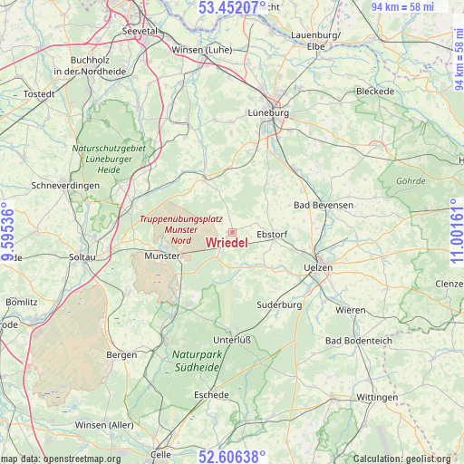
Wriedel GPS coordinates[2]
53° 1' 52.68" North, 10° 17' 54.528" East
| Map corner | latitude | longitude |
|---|---|---|
| Upper-left | 53.45207°, | 9.59536° |
| Center: | 53.0313°, | 10.29848° |
| Lower-right: | 52.60638°, | 11.00161° |
| Map W x H: | 94×94 km | = 58.4×58.4mi |
| max Lat: | 55.01917° ⇑18.1% North |
| Wriedel: | 53.0313° |
| min Lat: | ⇓81.9% South 47.40724° |
| min Long | Wriedel | max Long |
| 5.92978° | 10.29848° | 14.98853° |
| W 55.2%⇐ | ⇒44.8% E |
Elevation
Elevation of Wriedel is 76 m = 249 ft, and this is 173.1 m = 568 ft below average elevation for this country.
| Max E: |
1256 m = 4121 ft | 72.3% |
| Avg. | 249.1 m = 817 ft | |
| Wriedel | 76 m = 249 ft | |
Min E: |
-5 m = -16 ft | 27.7% |
See also: Germany elevation on elevation.city.
Geographical zone
Wriedel is located in North temperate zone (between Tropic of Cancer and the Arctic Circle). Distance of this North polar circle is 1504.6 km =934.9 mi to North.| Distance of | km | miles | from Wriedel |
|---|---|---|---|
| North Pole | 4110.5 | 2554.1 | to North |
| Arctic Circle | 1504.6 | 934.9 | to North |
| Tropic Cancer | 3290.6 | 2044.7 | to South |
| Equator | 5896.5 | 3663.9 | to South |


Nearby cities:
15 places around Wriedel: (largest is in red/bold)
• Amelinghausen
11.8 km =7.3 mi,  330°
330°
• Barnstedt
12.2 km =7.6 mi,  21°
21°
• Barum
14.7 km =9.1 mi,  81°
81°
• Betzendorf
11.8 km =7.3 mi,  4°
4°
• Ebstorf
8 km =5 mi,  92°
92°
• Eimke
7.3 km =4.5 mi,  172°
172°
• Embsen
16.4 km =10.2 mi,  11°
11°
• Gerdau
10.7 km =6.6 mi,  132°
132°
• Hanstedt Eins
5.3 km =3.3 mi,  71°
71°
• Munster
15 km =9.3 mi,  250°
250°
• Natendorf
12.7 km =7.9 mi,  64°
64°
• Oldendorf
14.9 km =9.3 mi,  337°
337°
• Rehlingen
9.8 km =6.1 mi, 327°
• Schwienau
10.2 km =6.3 mi,  106°
106°
• Soderstorf
16 km =9.9 mi,  320°
320°
Sources, notices
• [Note1] Compared only with cities in Germany existing in our database
• [Src1] Map data: © OpenStreetMap contributors (CC-BY-SA)
• [Src2] Other city data from geonames.org with taken over terms of usage.
• [Src3] Geographical zone / Annual Mean Temperature by Robert A. Rohde @ Wikipedia
