Soltendieck geodata
Soltendieck (Lower Saxony) is a seat of a fourth-order administrative division; located in Germany in Europe/Berlin (GMT+2) time zone. With population of 1,076 people, there are 6920 cities with bigger population in this country. Compared to other cities in Germany, 80.9% of cities are located further ↓South; 63.4% of cities are located further ←West and 74.5% of cities have higher elevation than Soltendieck. Note1


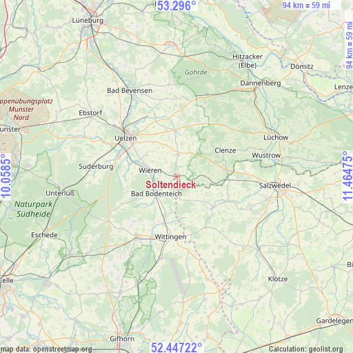
Soltendieck GPS coordinates[2]
52° 52' 25.284" North, 10° 45' 41.832" East
| Map corner | latitude | longitude |
|---|---|---|
| Upper-left | 53.296°, | 10.0585° |
| Center: | 52.87369°, | 10.76162° |
| Lower-right: | 52.44722°, | 11.46475° |
| Map W x H: | 94.4×94.4 km | = 58.7×58.7mi |
| max Lat: | 55.01917° ⇑19.1% North |
| Soltendieck: | 52.87369° |
| min Lat: | ⇓80.9% South 47.40724° |
| min Long | Soltendieck | max Long |
| 5.92978° | 10.76162° | 14.98853° |
| W 63.4%⇐ | ⇒36.6% E |
Elevation
Elevation of Soltendieck is 65 m = 213 ft, and this is 184.1 m = 604 ft below average elevation for this country.
| Max E: |
1256 m = 4121 ft | 74.5% |
| Avg. | 249.1 m = 817 ft | |
| Soltendieck | 65 m = 213 ft | |
Min E: |
-5 m = -16 ft | 25.5% |
See also: Germany elevation on elevation.city.
Geographical zone
Soltendieck is located in North temperate zone (between Tropic of Cancer and the Arctic Circle). Distance of this North polar circle is 1522.2 km =945.9 mi to North.| Distance of | km | miles | from Soltendieck |
|---|---|---|---|
| North Pole | 4128.1 | 2565.1 | to North |
| Arctic Circle | 1522.2 | 945.9 | to North |
| Tropic Cancer | 3273.1 | 2033.8 | to South |
| Equator | 5879 | 3653 | to South |


Nearby cities:
15 places around Soltendieck: (largest is in red/bold)
• Bergen an der Dumme
13.2 km =8.2 mi,  81°
81°
• Bodenteich
7.2 km =4.5 mi,  228°
228°
• Clenze
14.9 km =9.3 mi,  61°
61°
• Dähre
12.9 km =8 mi,  130°
130°
• Henningen
14 km =8.7 mi,  104°
104°
• Lüder
9.7 km =6 mi,  221°
221°
• Obernholz
16.3 km =10.1 mi, 222°
• Rosche
12.6 km =7.8 mi,  357°
357°
• Rätzlingen
12.7 km =7.9 mi,  333°
333°
• Schnega
9 km =5.6 mi, 77°
• Stadensen
13.8 km =8.6 mi,  270°
270°
• Suhlendorf
6.6 km =4.1 mi,  2°
2°
• Wieren
7 km =4.3 mi,  280°
280°
• Wittingen
16.4 km =10.2 mi,  185°
185°
• Wrestedt
13 km =8.1 mi,  285°
285°
Sources, notices
• [Note1] Compared only with cities in Germany existing in our database
• [Src1] Map data: © OpenStreetMap contributors (CC-BY-SA)
• [Src2] Other city data from geonames.org with taken over terms of usage.
• [Src3] Geographical zone / Annual Mean Temperature by Robert A. Rohde @ Wikipedia
