Schlüchtern geodata
Schlüchtern (Hesse) is a populated place; located in Germany in Europe/Berlin (GMT+2) time zone. With population of 17,260 people, there are 925 cities with bigger population in this country. Compared to other cities in Germany, 55.7% of cities are located further ↑North; 57.3% of cities are located further →East and 52.1% of cities have higher elevation than Schlüchtern. Note1
Administrative division(s):
- Level 1: Hesse
- Level 2: Regierungsbezirk Darmstadt
- Level 3: Main-Kinzig-Kreis
- Level 4: Schlüchtern


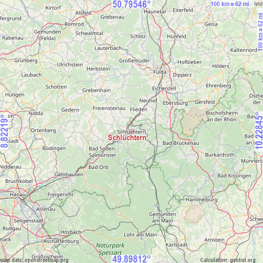
Schlüchtern GPS coordinates[2]
50° 20' 56.076" North, 9° 31' 31.152" East
| Map corner | latitude | longitude |
|---|---|---|
| Upper-left | 50.79546°, | 8.82219° |
| Center: | 50.34891°, | 9.52532° |
| Lower-right: | 49.89812°, | 10.22845° |
| Map W x H: | 99.8×99.8 km | = 62×62mi |
| max Lat: | 55.01917° ⇑55.7% North |
| Schlüchtern: | 50.34891° |
| min Lat: | ⇓44.3% South 47.40724° |
| min Long | Schlüchtern | max Long |
| 5.92978° | 9.52532° | 14.98853° |
| W 42.7%⇐ | ⇒57.3% E |
Elevation
Elevation of Schlüchtern is 211 m = 692 ft, and this is 38.1 m = 125 ft below average elevation for this country.
| Max E: |
1256 m = 4121 ft | 52.1% |
| Avg. | 249.1 m = 817 ft | |
| Schlüchtern | 211 m = 692 ft | |
Min E: |
-5 m = -16 ft | 47.9% |
See also: Germany elevation on elevation.city.
Geographical zone
Schlüchtern is located in North temperate zone (between Tropic of Cancer and the Arctic Circle). Distance of this North polar circle is 1802.9 km =1120.3 mi to North.| Distance of | km | miles | from Schlüchtern |
|---|---|---|---|
| North Pole | 4408.8 | 2739.5 | to North |
| Arctic Circle | 1802.9 | 1120.3 | to North |
| Tropic Cancer | 2992.4 | 1859.4 | to South |
| Equator | 5598.3 | 3478.6 | to South |


Nearby cities:
15 places around Schlüchtern: (largest is in red/bold)
• Aura im Sinngrund
19.3 km =12 mi,  169°
169°
• Bad Brückenau
19.3 km =12 mi,  103°
103°
• Bad Orb
18.4 km =11.4 mi,  223°
223°
• Bad Soden-Salmünster
13.9 km =8.6 mi,  234°
234°
• Birstein
16 km =9.9 mi,  270°
270°
• Flieden
8.8 km =5.5 mi,  19°
19°
• Freiensteinau
12.1 km =7.5 mi,  314°
314°
• Hosenfeld
17.7 km =11 mi,  349°
349°
• Kalbach
12.7 km =7.9 mi,  61°
61°
• Mittelsinn
18.6 km =11.6 mi,  159°
159°
• Motten
18.3 km =11.4 mi,  73°
73°
• Neuhof
13.3 km =8.3 mi,  29°
29°
• Obersinn
16.8 km =10.4 mi, 157°
• Steinau an der Straße
5.9 km =3.7 mi, 228°
• Zeitlofs
14.2 km =8.8 mi,  132°
132°
Sources, notices
• [Note1] Compared only with cities in Germany existing in our database
• [Src1] Map data: © OpenStreetMap contributors (CC-BY-SA)
• [Src2] Other city data from geonames.org with taken over terms of usage.
• [Src3] Geographical zone / Annual Mean Temperature by Robert A. Rohde @ Wikipedia
