Sucúa geodata
Sucúa (Morona-Santiago) is a populated place; located in Ecuador in America/Guayaquil (GMT-5) time zone. With population of 7,413 people, there are 97 cities with bigger population in this country. Compared to other cities in Ecuador, 77.7% of cities are located further ↑North; 85.1% of cities are located further ←West and 62% of cities have lower elevation than Sucúa. Note1


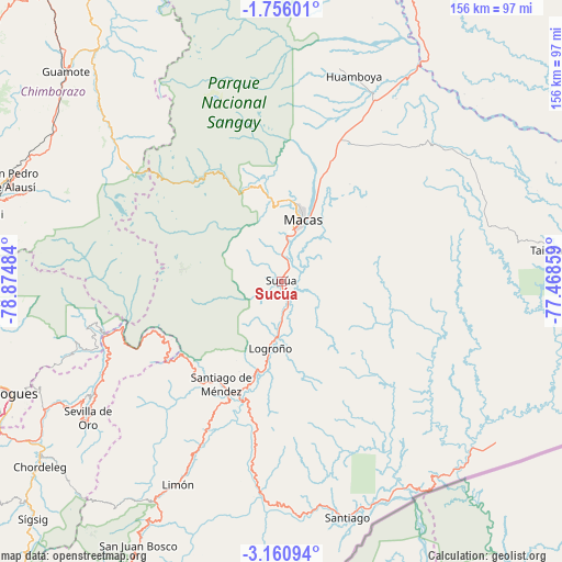
Sucúa GPS coordinates[2]
2° 27' 31.176" South, 78° 10' 18.156" West
| Map corner | latitude | longitude |
|---|---|---|
| Upper-left | -1.75601°, | -78.87484° |
| Center: | -2.45866°, | -78.17171° |
| Lower-right: | -3.16094°, | -77.46859° |
| Map W x H: | 156.2×156.2 km | = 97.1×97.1mi |
| max Lat: | 1.35251° ⇑77.7% North |
| Sucúa: | -2.45866° |
| min Lat: | ⇓22.3% South -4.38181° |
| min Long | Sucúa | max Long |
| -90.96654° | -78.17171° | -76.89528° |
| W 85.1%⇐ | ⇒14.9% E |
Elevation
Elevation of Sucúa is 831 m = 2726 ft, and this is 114.1 m = 374 ft below average elevation for this country.
| Max E: |
3131 m = 10272 ft | 38% |
| Avg. | 945.1 m = 3101 ft | |
| Sucúa | 831 m = 2726 ft | |
Min E: |
1 m = 3 ft | 62% |
See also: Ecuador elevation on elevation.city.
Geographical zone
Sucúa is located in South Torrid zone (between Equator and Tropic of Capricorn). Distance of Equator is 273.4 km =169.9 mi to North.| Distance of | km | miles | from Sucúa |
|---|---|---|---|
| Equator | 273.4 | 169.9 | to North |
| Tropic Capricorn | 2332.5 | 1449.3 | to South |
| Antarctic Circle | 7127.8 | 4429 | to South |
| South Pole | 9733.7 | 6048.2 | to South |


Nearby cities:
15 places around Sucúa: (largest is in red/bold)
• Alausí
80.2 km =49.8 mi,  290°
290°
• Azogues
81.4 km =50.6 mi,  247°
247°
• Cañar
86 km =53.4 mi,  262°
262°
• Cuenca
104.7 km =65.1 mi,  242°
242°
• Gualaceo
82.9 km =51.5 mi,  234°
234°
• Gualaquiza
114.5 km =71.1 mi,  203°
203°
• Guano
107.5 km =66.8 mi,  331°
331°
• La Unión
80.7 km =50.1 mi, 237°
• Llacao
91.1 km =56.6 mi, 240°
• Macas
18 km =11.2 mi,  21°
21°
• Nulti
90.9 km =56.5 mi, 235°
• Palora
87.3 km =54.2 mi, 15°
• Puyo
110 km =68.4 mi,  9°
9°
• Riobamba
102.3 km =63.6 mi, 328°
• Taisha
80.1 km =49.8 mi,  80°
80°
Sources, notices
• [Note1] Compared only with cities in Ecuador existing in our database
• [Src1] Map data: © OpenStreetMap contributors (CC-BY-SA)
• [Src2] Other city data from geonames.org with taken over terms of usage.
• [Src3] Geographical zone / Annual Mean Temperature by Robert A. Rohde @ Wikipedia
