Sucre geodata
Sucre (Manabí) is a populated place; located in Ecuador in America/Guayaquil (GMT-5) time zone. With population of 15,286 people, there are 64 cities with bigger population in this country. Compared to other cities in Ecuador, 56.2% of cities are located further ↓South; 89.3% of cities are located further →East and 54.5% of cities have higher elevation than Sucre. Note1


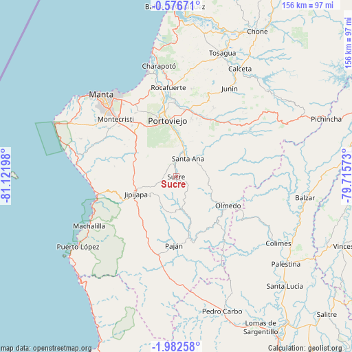
Sucre GPS coordinates[2]
1° 16' 47.064" South, 80° 25' 7.86" West
| Map corner | latitude | longitude |
|---|---|---|
| Upper-left | -0.57671°, | -81.12198° |
| Center: | -1.27974°, | -80.41885° |
| Lower-right: | -1.98258°, | -79.71573° |
| Map W x H: | 156.3×156.3 km | = 97.1×97.1mi |
| max Lat: | 1.35251° ⇑43.8% North |
| Sucre: | -1.27974° |
| min Lat: | ⇓56.2% South -4.38181° |
| min Long | Sucre | max Long |
| -90.96654° | -80.41885° | -76.89528° |
| W 10.7%⇐ | ⇒89.3% E |
Elevation
Elevation of Sucre is 121 m = 397 ft, and this is 824.1 m = 2704 ft below average elevation for this country.
| Max E: |
3131 m = 10272 ft | 54.5% |
| Avg. | 945.1 m = 3101 ft | |
| Sucre | 121 m = 397 ft | |
Min E: |
1 m = 3 ft | 45.5% |
See also: Ecuador elevation on elevation.city.
Geographical zone
Sucre is located in South Torrid zone (between Equator and Tropic of Capricorn). Distance of Equator is 142.3 km =88.4 mi to North.| Distance of | km | miles | from Sucre |
|---|---|---|---|
| Equator | 142.3 | 88.4 | to North |
| Tropic Capricorn | 2463.6 | 1530.8 | to South |
| Antarctic Circle | 7258.9 | 4510.5 | to South |
| South Pole | 9864.8 | 6129.7 | to South |


Nearby cities:
15 places around Sucre: (largest is in red/bold)
• Balzar
57.9 km =36 mi,  99°
99°
• Calceta
56 km =34.8 mi,  30°
30°
• Chone
74.1 km =46 mi, 29°
• Colimes
54.1 km =33.6 mi,  123°
123°
• Jipijapa
19.4 km =12.1 mi,  246°
246°
• Junín
45.7 km =28.4 mi, 31°
• Manta
48.1 km =29.9 mi,  317°
317°
• Montecristi
37.3 km =23.2 mi,  314°
314°
• Paján
30.3 km =18.8 mi,  182°
182°
• Palenque
75.7 km =47 mi, 103°
• Pedro Carbo
63.1 km =39.2 mi,  160°
160°
• Portoviejo
25.3 km =15.7 mi,  351°
351°
• Rocafuerte
39.7 km =24.7 mi,  355°
355°
• Santa Ana
9.6 km =6 mi, 33°
• Tosagua
58.5 km =36.4 mi,  20°
20°
Sources, notices
• [Note1] Compared only with cities in Ecuador existing in our database
• [Src1] Map data: © OpenStreetMap contributors (CC-BY-SA)
• [Src2] Other city data from geonames.org with taken over terms of usage.
• [Src3] Geographical zone / Annual Mean Temperature by Robert A. Rohde @ Wikipedia
