El Arahal geodata
El Arahal (Andalusia) is a populated place; located in Spain in Europe/Madrid (GMT+2) time zone. With population of 19,248 people, there are 490 cities with bigger population in this country. Compared to other cities in Spain, 93.3% of cities are located further ↑North; 79.3% of cities are located further →East and 86.3% of cities have higher elevation than El Arahal. Note1


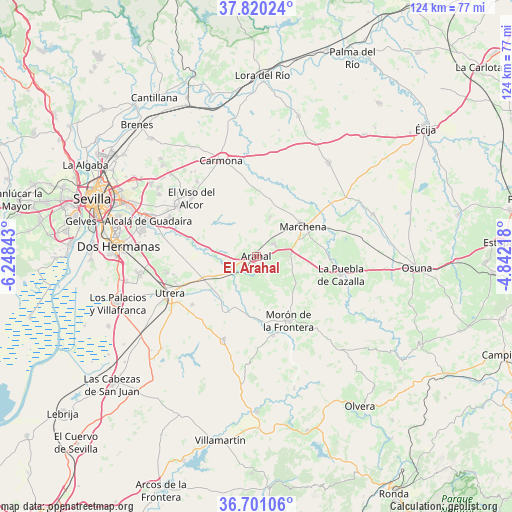
El Arahal GPS coordinates[2]
37° 15' 45.828" North, 5° 32' 43.08" West
| Map corner | latitude | longitude |
|---|---|---|
| Upper-left | 37.82024°, | -6.24843° |
| Center: | 37.26273°, | -5.5453° |
| Lower-right: | 36.70106°, | -4.84218° |
| Map W x H: | 124.4×124.4 km | = 77.3×77.3mi |
| max Lat: | 43.74134° ⇑93.3% North |
| El Arahal: | 37.26273° |
| min Lat: | ⇓6.7% South 27.64134° |
| min Long | El Arahal | max Long |
| -18.00367° | -5.5453° | 4.2899° |
| W 20.7%⇐ | ⇒79.3% E |
Elevation
Elevation of El Arahal is 118 m = 387 ft, and this is 480 m = 1575 ft below average elevation for this country.
| Max E: |
1682 m = 5518 ft | 86.3% |
| Avg. | 598 m = 1962 ft | |
| El Arahal | 118 m = 387 ft | |
Min E: |
0 m = 0 ft | 13.7% |
See also: Spain elevation on elevation.city.
Geographical zone
El Arahal is located in North temperate zone (between Tropic of Cancer and the Arctic Circle). Distance of this Northern Tropic circle is 1537.3 km =955.2 mi to South.| Distance of | km | miles | from El Arahal |
|---|---|---|---|
| North Pole | 5863.8 | 3643.6 | to North |
| Arctic Circle | 3257.9 | 2024.4 | to North |
| Tropic Cancer | 1537.3 | 955.2 | to South |
| Equator | 4143.2 | 2574.5 | to South |


Nearby cities:
15 places around El Arahal: (largest is in red/bold)
• Alcalá de Guadaira
27.3 km =17 mi,  287°
287°
• Carmona
24.8 km =15.4 mi,  338°
338°
• Dos Hermanas
33.3 km =20.7 mi,  273°
273°
• El Coronil
21.8 km =13.5 mi,  201°
201°
• El Viso del Alcor
21 km =13 mi,  312°
312°
• Fuentes de Andalucía
28.5 km =17.7 mi,  38°
38°
• La Lantejuela
30.1 km =18.7 mi,  70°
70°
• La Puebla de Cazalla
21.2 km =13.2 mi,  102°
102°
• Los Molares
19.3 km =12 mi,  232°
232°
• Mairena del Alcor
21.8 km =13.5 mi,  304°
304°
• Marchena
13.5 km =8.4 mi,  57°
57°
• Montellano
29.8 km =18.5 mi,  184°
184°
• Morón de la Frontera
17.7 km =11 mi,  152°
152°
• Paradas
5.3 km =3.3 mi,  54°
54°
• Utrera
22.6 km =14 mi,  247°
247°
Sources, notices
• [Note1] Compared only with cities in Spain existing in our database
• [Src1] Map data: © OpenStreetMap contributors (CC-BY-SA)
• [Src2] Other city data from geonames.org with taken over terms of usage.
• [Src3] Geographical zone / Annual Mean Temperature by Robert A. Rohde @ Wikipedia
