Āgaro geodata
Āgaro (Oromiya) is a populated place; located in Ethiopia in Africa/Addis_Ababa (GMT+3) time zone. With population of 28,268 people, there are 42 cities with bigger population in this country. Compared to other cities in Ethiopia, 68.2% of cities are located further ↑North; 86% of cities are located further →East and 77.6% of cities have higher elevation than Āgaro. Note1


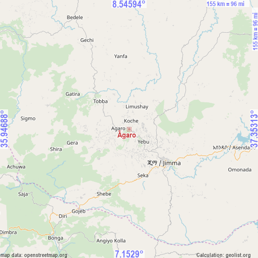
Āgaro GPS coordinates[2]
7° 51' 0" North, 36° 39' 0" East
| Map corner | latitude | longitude |
|---|---|---|
| Upper-left | 8.54594°, | 35.94688° |
| Center: | 7.85°, | 36.65° |
| Lower-right: | 7.1529°, | 37.35313° |
| Map W x H: | 154.9×154.9 km | = 96.3×96.3mi |
| max Lat: | 14.277° ⇑68.2% North |
| Āgaro: | 7.85° |
| min Lat: | ⇓31.8% South 4.05° |
| min Long | Āgaro | max Long |
| 34.53333° | 36.65° | 42.8° |
| W 14%⇐ | ⇒86% E |
Elevation
Elevation of Āgaro is 1609 m = 5279 ft, and this is 286.6 m = 940 ft below average elevation for this country.
| Max E: |
2854 m = 9364 ft | 77.6% |
| Avg. | 1895.6 m = 6219 ft | |
| Āgaro | 1609 m = 5279 ft | |
Min E: |
367 m = 1204 ft | 22.4% |
See also: Ethiopia elevation on elevation.city.
Geographical zone
Āgaro is located in North Torrid zone (between Equator and Tropic of Cancer). Distance of Equator is 872.8 km =542.3 mi to South.| Distance of | km | miles | from Āgaro |
|---|---|---|---|
| North Pole | 9134.2 | 5675.7 | to North |
| Arctic Circle | 6528.3 | 4056.5 | to North |
| Tropic Cancer | 1733.1 | 1076.9 | to North |
| Equator | 872.8 | 542.3 | to South |


Nearby cities:
15 places around Āgaro: (largest is in red/bold)
• Bedelē
74.9 km =46.5 mi,  334°
334°
• Bodītī
166.3 km =103.3 mi,  126°
126°
• Bonga
78 km =48.5 mi,  216°
216°
• Gimbi
172 km =106.9 mi, 328°
• Gorē
127.4 km =79.2 mi,  285°
285°
• Gēdo
156.7 km =97.4 mi,  34°
34°
• Hosa’ina
136.8 km =85 mi,  104°
104°
• Jimma
28.3 km =17.6 mi, 134°
• K’olīto
168.7 km =104.8 mi,  110°
110°
• Metu
127.6 km =79.3 mi, 293°
• Mīzan Teferī
150.5 km =93.5 mi,  231°
231°
• Sodo
164.8 km =102.4 mi, 131°
• Tippi
150.7 km =93.6 mi,  241°
241°
• Waliso
163.5 km =101.6 mi,  62°
62°
• Āreka
144.9 km =90 mi, 126°
Sources, notices
• [Note1] Compared only with cities in Ethiopia existing in our database
• [Src1] Map data: © OpenStreetMap contributors (CC-BY-SA)
• [Src2] Other city data from geonames.org with taken over terms of usage.
• [Src3] Geographical zone / Annual Mean Temperature by Robert A. Rohde @ Wikipedia
