Gimbi geodata
Gimbi (Oromiya) is a populated place; located in Ethiopia in Africa/Addis_Ababa (GMT+3) time zone. With population of 31,809 people, there are 36 cities with bigger population in this country. Compared to other cities in Ethiopia, 57.9% of cities are located further ↓South; 91.6% of cities are located further →East and 56.1% of cities have lower elevation than Gimbi. Note1


Gimbi GPS coordinates[2]
9° 10' 13.116" North, 35° 50' 5.676" East
| Map corner | latitude | longitude |
|---|---|---|
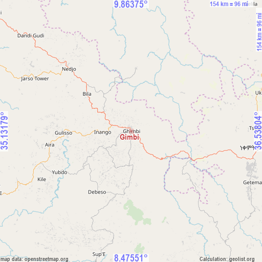
| Upper-left | 9.86375°, | 35.13179° |
| Center: | 9.17031°, | 35.83491° |
| Lower-right: | 8.47551°, | 36.53804° |
| Map W x H: | 154.4×154.4 km | = 95.9×95.9mi |
| max Lat: | 14.277° ⇑42.1% North |
| Gimbi: | 9.17031° |
| min Lat: | ⇓57.9% South 4.05° |
| min Long | Gimbi | max Long |
| 34.53333° | 35.83491° | 42.8° |
| W 8.4%⇐ | ⇒91.6% E |
Elevation
Elevation of Gimbi is 1980 m = 6496 ft, and this is 84.4 m = 277 ft above average elevation for this country.
| Max E: |
2854 m = 9364 ft | 43.9% |
| Gimbi | 1980 m 6496 ft | |
| Avg. | 1895.6 m = 6219 ft | |
Min E: |
367 m = 1204 ft | 56.1% |
See also: Ethiopia elevation on elevation.city.
Geographical zone
Gimbi is located in North Torrid zone (between Equator and Tropic of Cancer). Distance of Equator is 1019.6 km =633.5 mi to South.| Distance of | km | miles | from Gimbi |
|---|---|---|---|
| North Pole | 8987.4 | 5584.5 | to North |
| Arctic Circle | 6381.5 | 3965.3 | to North |
| Tropic Cancer | 1586.3 | 985.7 | to North |
| Equator | 1019.6 | 633.5 | to South |


Nearby cities:
15 places around Gimbi: (largest is in red/bold)
• Bedelē
97.7 km =60.7 mi,  144°
144°
• Bonga
214.3 km =133.2 mi,  168°
168°
• Burē
217.1 km =134.9 mi,  38°
38°
• Dembī Dolo
134 km =83.3 mi,  238°
238°
• Gambēla
171.4 km =106.5 mi,  233°
233°
• Gorē
118.2 km =73.4 mi,  196°
196°
• Gēdo
178.1 km =110.7 mi,  95°
95°
• Hāgere Hiywet
222.2 km =138.1 mi, 95°
• Jimma
199.5 km =124 mi,  146°
146°
• Mendī
106.8 km =66.4 mi,  310°
310°
• Metu
100.6 km =62.5 mi, 195°
• Nejo
51.9 km =32.2 mi, 314°
• Shambu
145.6 km =90.5 mi,  72°
72°
• Āgaro
172 km =106.9 mi, 148°
• Āsosa
174 km =108.1 mi,  304°
304°
Sources, notices
• [Note1] Compared only with cities in Ethiopia existing in our database
• [Src1] Map data: © OpenStreetMap contributors (CC-BY-SA)
• [Src2] Other city data from geonames.org with taken over terms of usage.
• [Src3] Geographical zone / Annual Mean Temperature by Robert A. Rohde @ Wikipedia
