La Trinité-Porhoët geodata
La Trinité-Porhoët (Brittany) is a populated place; located in France in Europe/Paris (GMT+2) time zone. With population of 862 people, there are 9979 cities with bigger population in this country. Compared to other cities in France, 61.1% of cities are located further ↓South; 96.3% of cities are located further →East and 56.9% of cities have higher elevation than La Trinité-Porhoët. Note1
Administrative division(s):
- Level 1: Brittany
- Level 2: Morbihan
- Level 3: Arrondissement de Pontivy
- Level 4: La Trinité-Porhoët


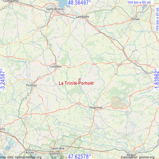
La Trinité-Porhoët GPS coordinates[2]
48° 5' 51.072" North, 2° 32' 33.864" West
| Map corner | latitude | longitude |
|---|---|---|
| Upper-left | 48.56497°, | -3.24587° |
| Center: | 48.09752°, | -2.54274° |
| Lower-right: | 47.62578°, | -1.83962° |
| Map W x H: | 104.4×104.4 km | = 64.9×64.9mi |
| max Lat: | 51.07786° ⇑38.9% North |
| La Trinité-Porhoët: | 48.09752° |
| min Lat: | ⇓61.1% South 41.3874° |
| min Long | La Trinité-Por | max Long |
| -5.08615° | -2.54274° | 9.52242° |
| W 3.7%⇐ | ⇒96.3% E |
Elevation
Elevation of La Trinité-Porhoët is 111 m = 364 ft, and this is 82.7 m = 271 ft below average elevation for this country.
| Max E: |
2333 m = 7654 ft | 56.9% |
| Avg. | 193.7 m = 635 ft | |
| La Trinité-Porhoët | 111 m = 364 ft | |
Min E: |
-1 m = -3 ft | 43.1% |
See also: France elevation on elevation.city.
Geographical zone
La Trinité-Porhoët is located in North temperate zone (between Tropic of Cancer and the Arctic Circle). Distance of this North polar circle is 2053.2 km =1275.8 mi to North.| Distance of | km | miles | from La Trinité-Porhoët |
|---|---|---|---|
| North Pole | 4659.1 | 2895 | to North |
| Arctic Circle | 2053.2 | 1275.8 | to North |
| Tropic Cancer | 2742 | 1703.8 | to South |
| Equator | 5347.9 | 3323 | to South |


Nearby cities:
15 places around La Trinité-Porhoët: (largest is in red/bold)
• Guilliers
11.9 km =7.4 mi,  120°
120°
• Illifaut
15.4 km =9.6 mi,  69°
69°
• Josselin
15.6 km =9.7 mi,  181°
181°
• La Chèze
9.2 km =5.7 mi,  293°
293°
• La Prénessaye
11.7 km =7.3 mi,  323°
323°
• Lanouée
11 km =6.8 mi,  195°
195°
• Laurenan
11.3 km =7 mi,  3°
3°
• Le Cambout
6.6 km =4.1 mi,  229°
229°
• Merdrignac
14.3 km =8.9 mi,  41°
41°
• Mohon
5.2 km =3.2 mi,  165°
165°
• Ménéac
7.7 km =4.8 mi,  52°
52°
• Plumieux
3.1 km =1.9 mi,  281°
281°
• Plémet
9.5 km =5.9 mi,  336°
336°
• Saint-Barnabé
12.8 km =8 mi, 290°
• Saint-Malo-des-Trois-Fontaines
10.7 km =6.6 mi,  150°
150°
Sources, notices
• [Note1] Compared only with cities in France existing in our database
• [Src1] Map data: © OpenStreetMap contributors (CC-BY-SA)
• [Src2] Other city data from geonames.org with taken over terms of usage.
• [Src3] Geographical zone / Annual Mean Temperature by Robert A. Rohde @ Wikipedia
