Florac geodata
Florac (Occitanie) is a seat of a third-order administrative division; located in France in Europe/Paris (GMT+2) time zone. With population of 1,921 people, there are 4989 cities with bigger population in this country. Compared to other cities in France, 84.7% of cities are located further ↑North; 65% of cities are located further ←West and 97.9% of cities have lower elevation than Florac. Note1
Administrative division(s):
- Level 1: Occitanie
- Level 2: Département de la Lozère
- Level 3: Arrondissement de Florac
- Level 4: Florac Trois Rivières


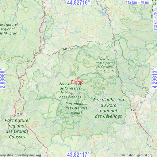
Florac GPS coordinates[2]
44° 19' 34.752" North, 3° 35' 34.836" East
| Map corner | latitude | longitude |
|---|---|---|
| Upper-left | 44.82716°, | 2.88988° |
| Center: | 44.32632°, | 3.59301° |
| Lower-right: | 43.82117°, | 4.29613° |
| Map W x H: | 111.9×111.9 km | = 69.5×69.5mi |
| max Lat: | 51.07786° ⇑84.7% North |
| Florac: | 44.32632° |
| min Lat: | ⇓15.3% South 41.3874° |
| min Long | Florac | max Long |
| -5.08615° | 3.59301° | 9.52242° |
| W 65%⇐ | ⇒35% E |
Elevation
Elevation of Florac is 804 m = 2638 ft, and this is 610.3 m = 2002 ft above average elevation for this country.
| Max E: |
2333 m = 7654 ft | 2.1% |
| Florac | 804 m 2638 ft | |
| Avg. | 193.7 m = 635 ft | |
Min E: |
-1 m = -3 ft | 97.9% |
See also: France elevation on elevation.city.
Geographical zone
Florac is located in North temperate zone (between Tropic of Cancer and the Arctic Circle). Distance of this Northern Tropic circle is 2322.7 km =1443.3 mi to South.| Distance of | km | miles | from Florac |
|---|---|---|---|
| North Pole | 5078.4 | 3155.6 | to North |
| Arctic Circle | 2472.5 | 1536.3 | to North |
| Tropic Cancer | 2322.7 | 1443.3 | to South |
| Equator | 4928.6 | 3062.5 | to South |


Nearby cities:
15 places around Florac: (largest is in red/bold)
• Badaroux
23.4 km =14.5 mi,  351°
351°
• Balsièges
20.3 km =12.6 mi,  327°
327°
• Barjac
24.4 km =15.2 mi,  323°
323°
• Chanac
25.2 km =15.7 mi,  308°
308°
• Chastel-Nouvel
26.8 km =16.7 mi,  344°
344°
• Génolhac
28.6 km =17.8 mi,  84°
84°
• Ispagnac
6.6 km =4.1 mi, 318°
• Le Collet-de-Dèze
27.7 km =17.2 mi,  109°
109°
• Mende
22.5 km =14 mi, 341°
• Meyrueis
21 km =13 mi,  217°
217°
• Saint-Étienne-Vallée-Française
26.6 km =16.5 mi,  131°
131°
• Saint-Étienne-du-Valdonnez
14.6 km =9.1 mi, 350°
• Sainte-Enimie
14.7 km =9.1 mi,  287°
287°
• Valleraugue
27.5 km =17.1 mi,  171°
171°
• Vialas
24.2 km =15 mi,  88°
88°
Sources, notices
• [Note1] Compared only with cities in France existing in our database
• [Src1] Map data: © OpenStreetMap contributors (CC-BY-SA)
• [Src2] Other city data from geonames.org with taken over terms of usage.
• [Src3] Geographical zone / Annual Mean Temperature by Robert A. Rohde @ Wikipedia
