Albestroff geodata
Albestroff (Grand Est) is a populated place; located in France in Europe/Paris (GMT+2) time zone. With population of 689 people, there are 11953 cities with bigger population in this country. Compared to other cities in France, 78.2% of cities are located further ↓South; 94% of cities are located further ←West and 72.4% of cities have lower elevation than Albestroff. Note1
Administrative division(s):
- Level 1: Grand Est
- Level 2: Moselle
- Level 3: Arrondissement de Sarrebourg-Château-Salins
- Level 4: Albestroff


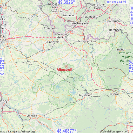
Albestroff GPS coordinates[2]
48° 55' 58.152" North, 6° 51' 21.132" East
| Map corner | latitude | longitude |
|---|---|---|
| Upper-left | 49.3926°, | 6.15275° |
| Center: | 48.93282°, | 6.85587° |
| Lower-right: | 48.46877°, | 7.559° |
| Map W x H: | 102.7×102.7 km | = 63.8×63.8mi |
| max Lat: | 51.07786° ⇑21.8% North |
| Albestroff: | 48.93282° |
| min Lat: | ⇓78.2% South 41.3874° |
| min Long | Albestroff | max Long |
| -5.08615° | 6.85587° | 9.52242° |
| W 94%⇐ | ⇒6% E |
Elevation
Elevation of Albestroff is 232 m = 761 ft, and this is 38.3 m = 126 ft above average elevation for this country.
| Max E: |
2333 m = 7654 ft | 27.6% |
| Albestroff | 232 m 761 ft | |
| Avg. | 193.7 m = 635 ft | |
Min E: |
-1 m = -3 ft | 72.4% |
See also: France elevation on elevation.city.
Geographical zone
Albestroff is located in North temperate zone (between Tropic of Cancer and the Arctic Circle). Distance of this North polar circle is 1960.4 km =1218.1 mi to North.| Distance of | km | miles | from Albestroff |
|---|---|---|---|
| North Pole | 4566.2 | 2837.3 | to North |
| Arctic Circle | 1960.4 | 1218.1 | to North |
| Tropic Cancer | 2834.9 | 1761.5 | to South |
| Equator | 5440.8 | 3380.8 | to South |


Nearby cities:
15 places around Albestroff: (largest is in red/bold)
• Bénestroff
7.8 km =4.8 mi,  245°
245°
• Francaltroff
5.4 km =3.4 mi,  307°
307°
• Grostenquin
10 km =6.2 mi,  301°
301°
• Harskirchen
13.2 km =8.2 mi,  89°
89°
• Hellimer
7.4 km =4.6 mi,  344°
344°
• Hilsprich
10 km =6.2 mi,  25°
25°
• Holving
11.9 km =7.4 mi,  42°
42°
• Insming
2.9 km =1.8 mi, 30°
• Laning
12.9 km =8 mi,  332°
332°
• Le Val-de-Guéblange
9.5 km =5.9 mi,  55°
55°
• Mittersheim
10.2 km =6.3 mi,  141°
141°
• Racrange
13.6 km =8.5 mi,  266°
266°
• Rémering-lès-Puttelange
13 km =8.1 mi, 27°
• Saint-Jean-Rohrbach
10.6 km =6.6 mi,  11°
11°
• Vergaville
13.3 km =8.3 mi,  217°
217°
Sources, notices
• [Note1] Compared only with cities in France existing in our database
• [Src1] Map data: © OpenStreetMap contributors (CC-BY-SA)
• [Src2] Other city data from geonames.org with taken over terms of usage.
• [Src3] Geographical zone / Annual Mean Temperature by Robert A. Rohde @ Wikipedia
