Nungua geodata
Nungua (Greater Accra) is a section of populated place; located in Ghana in Africa/Accra (GMT+0) time zone. With population of 70,483 people, there are 15 cities with bigger population in this country. Compared to other cities in Ghana, 75% of cities are located further ↑North; 86.1% of cities are located further ←West and 81.9% of cities have higher elevation than Nungua. Note1


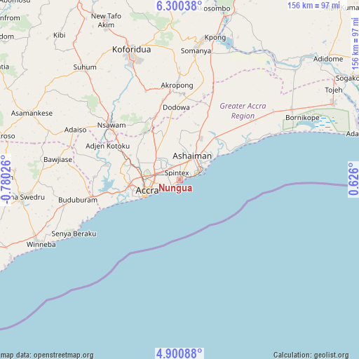
Nungua GPS coordinates[2]
5° 36' 3.78" North, 0° 4' 37.668" West
| Map corner | latitude | longitude |
|---|---|---|
| Upper-left | 6.30038°, | -0.78026° |
| Center: | 5.60105°, | -0.07713° |
| Lower-right: | 4.90088°, | 0.626° |
| Map W x H: | 155.6×155.6 km | = 96.7×96.7mi |
| max Lat: | 11.0616° ⇑75% North |
| Nungua: | 5.60105° |
| min Lat: | ⇓25% South 4.86641° |
| min Long | Nungua | max Long |
| -2.78516° | -0.07713° | 1.19012° |
| W 86.1%⇐ | ⇒13.9% E |
Elevation
Elevation of Nungua is 28 m = 92 ft, and this is 142.2 m = 467 ft below average elevation for this country.
| Max E: |
477 m = 1565 ft | 81.9% |
| Avg. | 170.2 m = 558 ft | |
| Nungua | 28 m = 92 ft | |
Min E: |
0 m = 0 ft | 18.1% |
See also: Nungua elevation on elevation.city.
Geographical zone
Nungua is located in North Torrid zone (between Equator and Tropic of Cancer). Distance of Equator is 622.8 km =387 mi to South.| Distance of | km | miles | from Nungua |
|---|---|---|---|
| North Pole | 9384.3 | 5831.1 | to North |
| Arctic Circle | 6778.4 | 4211.9 | to North |
| Tropic Cancer | 1983.1 | 1232.2 | to North |
| Equator | 622.8 | 387 | to South |


Nearby cities:
15 places around Nungua: (largest is in red/bold)
• Aburi
29.5 km =18.3 mi,  338°
338°
• Accra
14.2 km =8.8 mi,  249°
249°
• Akropong
41.5 km =25.8 mi,  358°
358°
• Atsiaman
29.8 km =18.5 mi,  291°
291°
• Dome
18.4 km =11.4 mi, 287°
• Gbawe
26 km =16.2 mi,  264°
264°
• Kasoa
38.3 km =23.8 mi, 258°
• Koforidua
58.4 km =36.3 mi, 339°
• Medina Estates
11.9 km =7.4 mi,  307°
307°
• Nsawam
38 km =23.6 mi, 307°
• Suhum
64 km =39.8 mi,  319°
319°
• Swedru
69.3 km =43.1 mi, 264°
• Tema
10.2 km =6.3 mi,  41°
41°
• Teshi Old Town
3.9 km =2.4 mi,  239°
239°
• Winneba
66.5 km =41.3 mi, 245°
Sources, notices
• [Note1] Compared only with cities in Ghana existing in our database
• [Src1] Map data: © OpenStreetMap contributors (CC-BY-SA)
• [Src2] Other city data from geonames.org with taken over terms of usage.
• [Src3] Geographical zone / Annual Mean Temperature by Robert A. Rohde @ Wikipedia
