Kpandu geodata
Kpandu (Volta) is a populated place; located in Ghana in Africa/Accra (GMT+0) time zone. With population of 28,334 people, there are 46 cities with bigger population in this country. Compared to other cities in Ghana, 70.8% of cities are located further ↓South; 93.1% of cities are located further ←West and 51.4% of cities have higher elevation than Kpandu. Note1


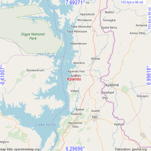
Kpandu GPS coordinates[2]
6° 59' 43.296" North, 0° 17' 35.016" East
| Map corner | latitude | longitude |
|---|---|---|
| Upper-left | 7.69271°, | -0.41007° |
| Center: | 6.99536°, | 0.29306° |
| Lower-right: | 6.29696°, | 0.99618° |
| Map W x H: | 155.2×155.2 km | = 96.4×96.4mi |
| max Lat: | 11.0616° ⇑29.2% North |
| Kpandu: | 6.99536° |
| min Lat: | ⇓70.8% South 4.86641° |
| min Long | Kpandu | max Long |
| -2.78516° | 0.29306° | 1.19012° |
| W 93.1%⇐ | ⇒6.9% E |
Elevation
Elevation of Kpandu is 153 m = 502 ft, and this is 17.2 m = 56 ft below average elevation for this country.
| Max E: |
477 m = 1565 ft | 51.4% |
| Avg. | 170.2 m = 558 ft | |
| Kpandu | 153 m = 502 ft | |
Min E: |
0 m = 0 ft | 48.6% |
See also: Ghana elevation on elevation.city.
Geographical zone
Kpandu is located in North Torrid zone (between Equator and Tropic of Cancer). Distance of Equator is 777.8 km =483.3 mi to South.| Distance of | km | miles | from Kpandu |
|---|---|---|---|
| North Pole | 9229.3 | 5734.8 | to North |
| Arctic Circle | 6623.4 | 4115.6 | to North |
| Tropic Cancer | 1828.1 | 1135.9 | to North |
| Equator | 777.8 | 483.3 | to South |


Nearby cities:
15 places around Kpandu: (largest is in red/bold)
• Aburi
137.6 km =85.5 mi,  202°
202°
• Aflao
138.9 km =86.3 mi,  134°
134°
• Akropong
121 km =75.2 mi, 200°
• Anloga
149.3 km =92.8 mi,  153°
153°
• Begoro
100.3 km =62.3 mi,  227°
227°
• Ho
48.1 km =29.9 mi,  155°
155°
• Hohoe
26.4 km =16.4 mi,  48°
48°
• Keta
142.3 km =88.4 mi, 147°
• Kete Krachi
96.5 km =60 mi,  336°
336°
• Kibi
131.4 km =81.6 mi, 225°
• Koforidua
117.3 km =72.9 mi,  211°
211°
• Mpraeso
122 km =75.8 mi,  248°
248°
• Nsawam
149.9 km =93.1 mi, 208°
• Odumase Krobo
132.9 km =82.6 mi, 247°
• Suhum
134.2 km =83.4 mi,  217°
217°
Sources, notices
• [Note1] Compared only with cities in Ghana existing in our database
• [Src1] Map data: © OpenStreetMap contributors (CC-BY-SA)
• [Src2] Other city data from geonames.org with taken over terms of usage.
• [Src3] Geographical zone / Annual Mean Temperature by Robert A. Rohde @ Wikipedia
