San Jorge geodata
San Jorge (Zacapa) is a seat of a second-order administrative division; located in Guatemala in America/Guatemala (GMT-6) time zone. In our database, there are 325 cities with bigger population. Compared to other cities in Guatemala, 61.1% of cities are located further ↓South; 92.9% of cities are located further ←West and 85.3% of cities have higher elevation than San Jorge. Note1


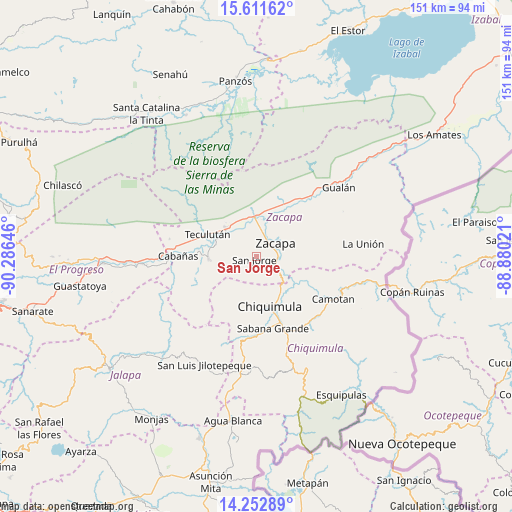
San Jorge GPS coordinates[2]
14° 55' 59.988" North, 89° 34' 59.988" West
| Map corner | latitude | longitude |
|---|---|---|
| Upper-left | 15.61162°, | -90.28646° |
| Center: | 14.93333°, | -89.58333° |
| Lower-right: | 14.25289°, | -88.88021° |
| Map W x H: | 151.1×151.1 km | = 93.9×93.9mi |
| max Lat: | 17.06606° ⇑38.9% North |
| San Jorge: | 14.93333° |
| min Lat: | ⇓61.1% South 13.9274° |
| min Long | San Jorge | max Long |
| -92.19298° | -89.58333° | -88.59444° |
| W 92.9%⇐ | ⇒7.1% E |
Elevation
Elevation of San Jorge is 252 m = 827 ft, and this is 1015 m = 3330 ft below average elevation for this country.
| Max E: |
3254 m = 10676 ft | 85.3% |
| Avg. | 1267 m = 4157 ft | |
| San Jorge | 252 m = 827 ft | |
Min E: |
1 m = 3 ft | 14.7% |
See also: Guatemala elevation on elevation.city.
Geographical zone
San Jorge is located in North Torrid zone (between Equator and Tropic of Cancer). Distance of this Northern Tropic circle is 945.5 km =587.5 mi to North.| Distance of | km | miles | from San Jorge |
|---|---|---|---|
| North Pole | 8346.6 | 5186.3 | to North |
| Arctic Circle | 5740.7 | 3567.1 | to North |
| Tropic Cancer | 945.5 | 587.5 | to North |
| Equator | 1660.4 | 1031.7 | to South |


Nearby cities:
15 places around San Jorge: (largest is in red/bold)
• Cabañas
23.3 km =14.5 mi,  270°
270°
• Camotán
25.9 km =16.1 mi,  119°
119°
• Chiquimula
15.4 km =9.6 mi,  164°
164°
• Estanzuela
7.6 km =4.7 mi,  13°
13°
• Huité
14.3 km =8.9 mi, 270°
• Jocotán
24.3 km =15.1 mi, 121°
• La Unión
31.7 km =19.7 mi,  83°
83°
• Río Hondo
14.8 km =9.2 mi,  0°
0°
• San Diego
27.2 km =16.9 mi,  232°
232°
• San Jacinto
31 km =19.3 mi, 163°
• San José La Arada
24.1 km =15 mi,  180°
180°
• San Juan Ermita
25 km =15.5 mi,  138°
138°
• Teculután
15.4 km =9.6 mi,  291°
291°
• Usumatlán
21.6 km =13.4 mi, 274°
• Zacapa
7.1 km =4.4 mi,  52°
52°
Sources, notices
• [Note1] Compared only with cities in Guatemala existing in our database
• [Src1] Map data: © OpenStreetMap contributors (CC-BY-SA)
• [Src2] Other city data from geonames.org with taken over terms of usage.
• [Src3] Geographical zone / Annual Mean Temperature by Robert A. Rohde @ Wikipedia
