Bátya geodata
Bátya (Bács-Kiskun) is a populated place; located in Hungary in Europe/Budapest (GMT+2) time zone. With population of 2,190 people, there are 713 cities with bigger population in this country. Compared to other cities in Hungary, 86.4% of cities are located further ↑North; 66.3% of cities are located further →East and 84.5% of cities have higher elevation than Bátya. Note1


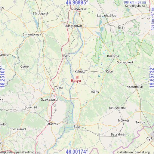
Bátya GPS coordinates[2]
46° 29' 16.8" North, 18° 57' 15.084" East
| Map corner | latitude | longitude |
|---|---|---|
| Upper-left | 46.96995°, | 18.25107° |
| Center: | 46.488°, | 18.95419° |
| Lower-right: | 46.00174°, | 19.65732° |
| Map W x H: | 107.7×107.7 km | = 66.9×66.9mi |
| max Lat: | 48.46667° ⇑86.4% North |
| Bátya: | 46.488° |
| min Lat: | ⇓13.6% South 45.79108° |
| min Long | Bátya | max Long |
| 16.27358° | 18.95419° | 22.68096° |
| W 33.7%⇐ | ⇒66.3% E |
Elevation
Elevation of Bátya is 91 m = 299 ft, and this is 38.7 m = 127 ft below average elevation for this country.
| Max E: |
444 m = 1457 ft | 84.5% |
| Avg. | 129.7 m = 426 ft | |
| Bátya | 91 m = 299 ft | |
Min E: |
71 m = 233 ft | 15.5% |
See also: Hungary elevation on elevation.city.
Geographical zone
Bátya is located in North temperate zone (between Tropic of Cancer and the Arctic Circle). Distance of this North polar circle is 2232.2 km =1387 mi to North.| Distance of | km | miles | from Bátya |
|---|---|---|---|
| North Pole | 4838.1 | 3006.3 | to North |
| Arctic Circle | 2232.2 | 1387 | to North |
| Tropic Cancer | 2563.1 | 1592.6 | to South |
| Equator | 5169 | 3211.9 | to South |


Nearby cities:
15 places around Bátya: (largest is in red/bold)
• Bogyiszló
14.8 km =9.2 mi,  220°
220°
• Császártöltés
19 km =11.8 mi,  112°
112°
• Dunapataj
17.6 km =10.9 mi,  10°
10°
• Dunaszentgyörgy
11.4 km =7.1 mi,  293°
293°
• Dusnok
10.8 km =6.7 mi,  176°
176°
• Fadd
10.7 km =6.6 mi,  255°
255°
• Hajós
16.2 km =10.1 mi,  127°
127°
• Kalocsa
4.9 km =3 mi,  17°
17°
• Madocsa
22.2 km =13.8 mi,  0°
0°
• Nemesnádudvar
18 km =11.2 mi,  155°
155°
• Paks
16.7 km =10.4 mi,  333°
333°
• Szedres
20.8 km =12.9 mi,  266°
266°
• Sükösd
23.1 km =14.4 mi,  172°
172°
• Tengelic
19.1 km =11.9 mi,  283°
283°
• Tolna
14.8 km =9.2 mi,  242°
242°
Sources, notices
• [Note1] Compared only with cities in Hungary existing in our database
• [Src1] Map data: © OpenStreetMap contributors (CC-BY-SA)
• [Src2] Other city data from geonames.org with taken over terms of usage.
• [Src3] Geographical zone / Annual Mean Temperature by Robert A. Rohde @ Wikipedia
