Nemesnádudvar geodata
Nemesnádudvar (Bács-Kiskun) is a populated place; located in Hungary in Europe/Budapest (GMT+2) time zone. With population of 2,041 people, there are 763 cities with bigger population in this country. Compared to other cities in Hungary, 91.1% of cities are located further ↑North; 61.5% of cities are located further →East and 84.5% of cities have higher elevation than Nemesnádudvar. Note1


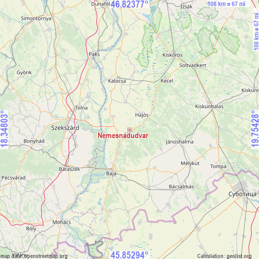
Nemesnádudvar GPS coordinates[2]
46° 20' 25.836" North, 19° 3' 4.14" East
| Map corner | latitude | longitude |
|---|---|---|
| Upper-left | 46.82377°, | 18.34803° |
| Center: | 46.34051°, | 19.05115° |
| Lower-right: | 45.85294°, | 19.75428° |
| Map W x H: | 107.9×107.9 km | = 67×67mi |
| max Lat: | 48.46667° ⇑91.1% North |
| Nemesnádudvar: | 46.34051° |
| min Lat: | ⇓8.9% South 45.79108° |
| min Long | Nemesnádudvar | max Long |
| 16.27358° | 19.05115° | 22.68096° |
| W 38.5%⇐ | ⇒61.5% E |
Elevation
Elevation of Nemesnádudvar is 91 m = 299 ft, and this is 38.7 m = 127 ft below average elevation for this country.
| Max E: |
444 m = 1457 ft | 84.5% |
| Avg. | 129.7 m = 426 ft | |
| Nemesnádudvar | 91 m = 299 ft | |
Min E: |
71 m = 233 ft | 15.5% |
See also: Hungary elevation on elevation.city.
Geographical zone
Nemesnádudvar is located in North temperate zone (between Tropic of Cancer and the Arctic Circle). Distance of this North polar circle is 2248.6 km =1397.2 mi to North.| Distance of | km | miles | from Nemesnádudvar |
|---|---|---|---|
| North Pole | 4854.5 | 3016.4 | to North |
| Arctic Circle | 2248.6 | 1397.2 | to North |
| Tropic Cancer | 2546.7 | 1582.4 | to South |
| Equator | 5152.6 | 3201.7 | to South |


Nearby cities:
15 places around Nemesnádudvar: (largest is in red/bold)
• Baja
19.1 km =11.9 mi,  203°
203°
• Bogyiszló
17.7 km =11 mi,  286°
286°
• Bátya
18 km =11.2 mi,  335°
335°
• Császártöltés
13.6 km =8.5 mi,  48°
48°
• Csávoly
18.4 km =11.4 mi,  156°
156°
• Dusnok
8.8 km =5.5 mi,  309°
309°
• Fadd
22.5 km =14 mi, 307°
• Felsőszentiván
19.1 km =11.9 mi,  146°
146°
• Hajós
8.4 km =5.2 mi,  39°
39°
• Jánoshalma
21.6 km =13.4 mi,  102°
102°
• Kalocsa
21.9 km =13.6 mi, 344°
• Sükösd
7.8 km =4.8 mi,  213°
213°
• Tolna
22.7 km =14.1 mi, 294°
• Érsekcsanád
10.9 km =6.8 mi, 207°
• Őcsény
22.7 km =14.1 mi,  262°
262°
Sources, notices
• [Note1] Compared only with cities in Hungary existing in our database
• [Src1] Map data: © OpenStreetMap contributors (CC-BY-SA)
• [Src2] Other city data from geonames.org with taken over terms of usage.
• [Src3] Geographical zone / Annual Mean Temperature by Robert A. Rohde @ Wikipedia
