Abasár geodata
Abasár (Heves) is a populated place; located in Hungary in Europe/Budapest (GMT+2) time zone. With population of 3,189 people, there are 460 cities with bigger population in this country. Compared to other cities in Hungary, 77.4% of cities are located further ↓South; 62% of cities are located further ←West and 85.5% of cities have lower elevation than Abasár. Note1


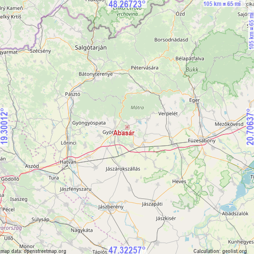
Abasár GPS coordinates[2]
47° 47' 49.38" North, 20° 0' 11.664" East
| Map corner | latitude | longitude |
|---|---|---|
| Upper-left | 48.26723°, | 19.30012° |
| Center: | 47.79705°, | 20.00324° |
| Lower-right: | 47.32257°, | 20.70637° |
| Map W x H: | 105×105 km | = 65.2×65.2mi |
| max Lat: | 48.46667° ⇑22.6% North |
| Abasár: | 47.79705° |
| min Lat: | ⇓77.4% South 45.79108° |
| min Long | Abasár | max Long |
| 16.27358° | 20.00324° | 22.68096° |
| W 62%⇐ | ⇒38% E |
Elevation
Elevation of Abasár is 175 m = 574 ft, and this is 45.3 m = 149 ft above average elevation for this country.
| Max E: |
444 m = 1457 ft | 14.5% |
| Abasár | 175 m 574 ft | |
| Avg. | 129.7 m = 426 ft | |
Min E: |
71 m = 233 ft | 85.5% |
See also: Hungary elevation on elevation.city.
Geographical zone
Abasár is located in North temperate zone (between Tropic of Cancer and the Arctic Circle). Distance of this North polar circle is 2086.6 km =1296.6 mi to North.| Distance of | km | miles | from Abasár |
|---|---|---|---|
| North Pole | 4692.5 | 2915.8 | to North |
| Arctic Circle | 2086.6 | 1296.6 | to North |
| Tropic Cancer | 2708.6 | 1683 | to South |
| Equator | 5314.5 | 3302.3 | to South |


Nearby cities:
15 places around Abasár: (largest is in red/bold)
• Adács
11.8 km =7.3 mi,  189°
189°
• Domoszló
9.4 km =5.8 mi,  64°
64°
• Gyöngyös
5.8 km =3.6 mi,  254°
254°
• Gyöngyöshalász
8.3 km =5.2 mi,  222°
222°
• Gyöngyöspata
16.1 km =10 mi,  277°
277°
• Gyöngyössolymos
5.5 km =3.4 mi,  294°
294°
• Gyöngyöstarján
10.3 km =6.4 mi, 280°
• Jászárokszállás
17.3 km =10.7 mi, 185°
• Karácsond
7.8 km =4.8 mi,  164°
164°
• Mátraderecske
18 km =11.2 mi,  19°
19°
• Nagyréde
12.1 km =7.5 mi, 253°
• Parád
14.2 km =8.8 mi,  8°
8°
• Parádsasvár
13 km =8.1 mi,  351°
351°
• Recsk
17.4 km =10.8 mi,  29°
29°
• Vámosgyörk
13.7 km =8.5 mi,  203°
203°
Sources, notices
• [Note1] Compared only with cities in Hungary existing in our database
• [Src1] Map data: © OpenStreetMap contributors (CC-BY-SA)
• [Src2] Other city data from geonames.org with taken over terms of usage.
• [Src3] Geographical zone / Annual Mean Temperature by Robert A. Rohde @ Wikipedia
