Ubrub geodata
Ubrub (Papua) is a seat of a third-order administrative division; located in Indonesia in Asia/Jayapura (GMT+9) time zone. In our database, there are 407 cities with bigger population. Compared to other cities in Indonesia, 89.9% of cities are located further ↓South; 100% of cities are located further ←West and 78.8% of cities have lower elevation than Ubrub. Note1


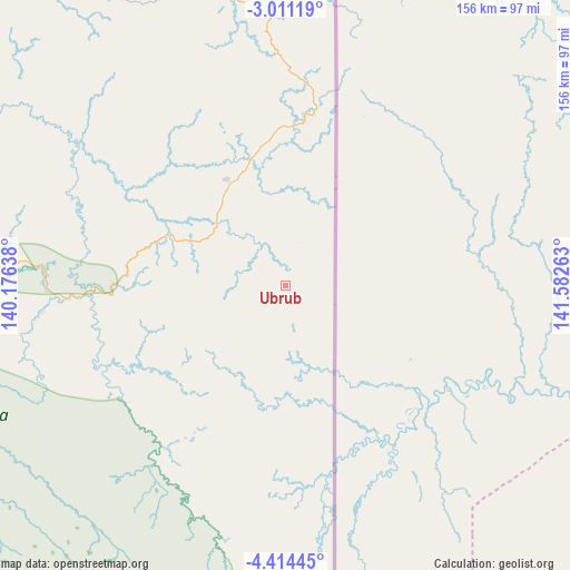
Ubrub GPS coordinates[2]
3° 42' 47.16" South, 140° 52' 46.2" East
| Map corner | latitude | longitude |
|---|---|---|
| Upper-left | -3.01119°, | 140.17638° |
| Center: | -3.7131°, | 140.8795° |
| Lower-right: | -4.41445°, | 141.58263° |
| Map W x H: | 156×156 km | = 96.9×96.9mi |
| max Lat: | 5.88969° ⇑10.1% North |
| Ubrub: | -3.7131° |
| min Lat: | ⇓89.9% South -10.934° |
| min Long | Ubrub | max Long |
| 95.1345° | 140.8795° | 140.9419° |
| W 100%⇐ | ⇒0% E |
Elevation
Elevation of Ubrub is 411 m = 1348 ft, and this is 181.3 m = 595 ft above average elevation for this country.
| Max E: |
3185 m = 10449 ft | 21.2% |
| Ubrub | 411 m 1348 ft | |
| Avg. | 229.7 m = 754 ft | |
Min E: |
-1 m = -3 ft | 78.8% |
See also: Indonesia elevation on elevation.city.
Geographical zone
Ubrub is located in South Torrid zone (between Equator and Tropic of Capricorn). Distance of Equator is 412.9 km =256.6 mi to North.| Distance of | km | miles | from Ubrub |
|---|---|---|---|
| Equator | 412.9 | 256.6 | to North |
| Tropic Capricorn | 2193.1 | 1362.7 | to South |
| Antarctic Circle | 6988.3 | 4342.3 | to South |
| South Pole | 9594.2 | 5961.6 | to South |


Nearby cities:
15 places around Ubrub: (largest is in red/bold)
• Abepura
127.2 km =79 mi,  347°
347°
• Arso
91 km =56.5 mi, 352°
• Banda
59.7 km =37.1 mi,  6°
6°
• Demta
171.1 km =106.3 mi,  331°
331°
• Depapre
147.6 km =91.7 mi,  337°
337°
• Elelim
130.1 km =80.8 mi,  267°
267°
• Genyem
149.9 km =93.1 mi, 327°
• Guay
179.4 km =111.5 mi,  318°
318°
• Jayapura
132.4 km =82.3 mi, 352°
• Oksibil
135.3 km =84.1 mi,  191°
191°
• Sawoi
135.3 km =84.1 mi, 333°
• Sengge
31.7 km =19.7 mi, 338°
• Sentani
133.6 km =83 mi, 342°
• Sumohai
200.9 km =124.8 mi,  237°
237°
• Waris
66.3 km =41.2 mi,  0°
0°
Sources, notices
• [Note1] Compared only with cities in Indonesia existing in our database
• [Src1] Map data: © OpenStreetMap contributors (CC-BY-SA)
• [Src2] Other city data from geonames.org with taken over terms of usage.
• [Src3] Geographical zone / Annual Mean Temperature by Robert A. Rohde @ Wikipedia
