Sengge geodata
Sengge (Papua) is a seat of a third-order administrative division; located in Indonesia in Asia/Jayapura (GMT+9) time zone. In our database, there are 407 cities with bigger population. Compared to other cities in Indonesia, 90.4% of cities are located further ↓South; 100% of cities are located further ←West and 68.1% of cities have lower elevation than Sengge. Note1


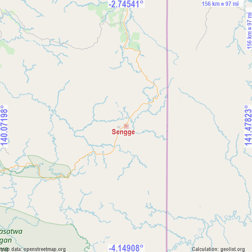
Sengge GPS coordinates[2]
3° 26' 51" South, 140° 46' 30.36" East
| Map corner | latitude | longitude |
|---|---|---|
| Upper-left | -2.74541°, | 140.07198° |
| Center: | -3.4475°, | 140.7751° |
| Lower-right: | -4.14908°, | 141.47823° |
| Map W x H: | 156.1×156.1 km | = 97×97mi |
| max Lat: | 5.88969° ⇑9.6% North |
| Sengge: | -3.4475° |
| min Lat: | ⇓90.4% South -10.934° |
| min Long | Sengge | max Long |
| 95.1345° | 140.7751° | 140.9419° |
| W 100%⇐ | ⇒0% E |
Elevation
Elevation of Sengge is 264 m = 866 ft, and this is 34.3 m = 113 ft above average elevation for this country.
| Max E: |
3185 m = 10449 ft | 31.9% |
| Sengge | 264 m 866 ft | |
| Avg. | 229.7 m = 754 ft | |
Min E: |
-1 m = -3 ft | 68.1% |
See also: Indonesia elevation on elevation.city.
Geographical zone
Sengge is located in South Torrid zone (between Equator and Tropic of Capricorn). Distance of Equator is 383.3 km =238.2 mi to North.| Distance of | km | miles | from Sengge |
|---|---|---|---|
| Equator | 383.3 | 238.2 | to North |
| Tropic Capricorn | 2222.6 | 1381.1 | to South |
| Antarctic Circle | 7017.8 | 4360.7 | to South |
| South Pole | 9623.7 | 5979.9 | to South |


Nearby cities:
15 places around Sengge: (largest is in red/bold)
• Abepura
96 km =59.7 mi,  350°
350°
• Armopa
176.7 km =109.8 mi,  314°
314°
• Arso
60.6 km =37.7 mi,  359°
359°
• Banda
35.1 km =21.8 mi,  31°
31°
• Demta
139.7 km =86.8 mi,  330°
330°
• Depapre
115.8 km =72 mi,  337°
337°
• Elelim
123.4 km =76.7 mi,  253°
253°
• Genyem
118.9 km =73.9 mi,  324°
324°
• Guay
150 km =93.2 mi, 314°
• Jayapura
101.8 km =63.3 mi, 356°
• Oksibil
162.8 km =101.2 mi,  185°
185°
• Sawoi
103.7 km =64.4 mi, 331°
• Sentani
101.9 km =63.3 mi, 343°
• Ubrub
31.7 km =19.7 mi,  158°
158°
• Waris
38.7 km =24 mi,  18°
18°
Sources, notices
• [Note1] Compared only with cities in Indonesia existing in our database
• [Src1] Map data: © OpenStreetMap contributors (CC-BY-SA)
• [Src2] Other city data from geonames.org with taken over terms of usage.
• [Src3] Geographical zone / Annual Mean Temperature by Robert A. Rohde @ Wikipedia
