Depapre geodata
Depapre (Papua) is a seat of a third-order administrative division; located in Indonesia in Asia/Jayapura (GMT+9) time zone. In our database, there are 407 cities with bigger population. Compared to other cities in Indonesia, 92.3% of cities are located further ↓South; 99.9% of cities are located further ←West and 52% of cities have lower elevation than Depapre. Note1


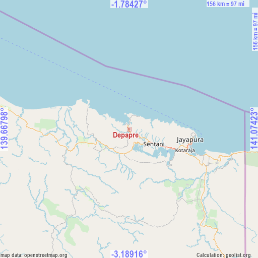
Depapre GPS coordinates[2]
2° 29' 12.84" South, 140° 22' 15.96" East
| Map corner | latitude | longitude |
|---|---|---|
| Upper-left | -1.78427°, | 139.66798° |
| Center: | -2.4869°, | 140.3711° |
| Lower-right: | -3.18916°, | 141.07423° |
| Map W x H: | 156.2×156.2 km | = 97.1×97.1mi |
| max Lat: | 5.88969° ⇑7.7% North |
| Depapre: | -2.4869° |
| min Lat: | ⇓92.3% South -10.934° |
| min Long | Depapre | max Long |
| 95.1345° | 140.3711° | 140.9419° |
| W 99.9%⇐ | ⇒0.099999999999994% E |
Elevation
Elevation of Depapre is 110 m = 361 ft, and this is 119.7 m = 393 ft below average elevation for this country.
| Max E: |
3185 m = 10449 ft | 48% |
| Avg. | 229.7 m = 754 ft | |
| Depapre | 110 m = 361 ft | |
Min E: |
-1 m = -3 ft | 52% |
See also: Indonesia elevation on elevation.city.
Geographical zone
Depapre is located in South Torrid zone (between Equator and Tropic of Capricorn). Distance of Equator is 276.5 km =171.8 mi to North.| Distance of | km | miles | from Depapre |
|---|---|---|---|
| Equator | 276.5 | 171.8 | to North |
| Tropic Capricorn | 2329.4 | 1447.4 | to South |
| Antarctic Circle | 7124.7 | 4427.1 | to South |
| South Pole | 9730.5 | 6046.3 | to South |


Nearby cities:
15 places around Depapre: (largest is in red/bold)
• Abepura
31.5 km =19.6 mi,  112°
112°
• Armopa
83.5 km =51.9 mi,  281°
281°
• Arso
63.7 km =39.6 mi,  136°
136°
• Banda
99.8 km =62 mi, 140°
• Betaf
131 km =81.4 mi,  288°
288°
• Demta
28.6 km =17.8 mi,  299°
299°
• Elelim
159.5 km =99.1 mi,  207°
207°
• Genyem
26.7 km =16.6 mi,  247°
247°
• Guay
62.4 km =38.8 mi,  268°
268°
• Jayapura
38.9 km =24.2 mi,  97°
97°
• Sawoi
15.8 km =9.8 mi,  194°
194°
• Sengge
115.8 km =72 mi,  157°
157°
• Sentani
18.2 km =11.3 mi,  120°
120°
• Ubrub
147.6 km =91.7 mi, 157°
• Waris
90.2 km =56 mi, 140°
Sources, notices
• [Note1] Compared only with cities in Indonesia existing in our database
• [Src1] Map data: © OpenStreetMap contributors (CC-BY-SA)
• [Src2] Other city data from geonames.org with taken over terms of usage.
• [Src3] Geographical zone / Annual Mean Temperature by Robert A. Rohde @ Wikipedia
