Ballina geodata
Ballina (Munster) is a populated place; located in Ireland in Europe/Dublin (GMT+1) time zone. With population of 2,442 people, there are 207 cities with bigger population in this country. Compared to other cities in Ireland, 67.6% of cities are located further ↑North; 72.7% of cities are located further →East and 57.5% of cities have higher elevation than Ballina. Note1


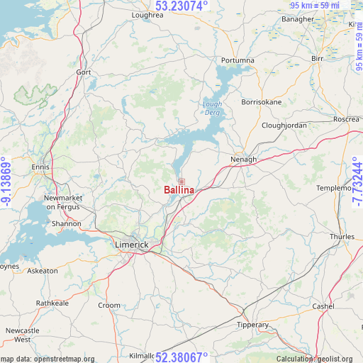
Ballina GPS coordinates[2]
52° 48' 28.008" North, 8° 26' 8.016" West
| Map corner | latitude | longitude |
|---|---|---|
| Upper-left | 53.23074°, | -9.13869° |
| Center: | 52.80778°, | -8.43556° |
| Lower-right: | 52.38067°, | -7.73244° |
| Map W x H: | 94.5×94.5 km | = 58.7×58.7mi |
| max Lat: | 55.25° ⇑67.6% North |
| Ballina: | 52.80778° |
| min Lat: | ⇓32.4% South 51.52487° |
| min Long | Ballina | max Long |
| -10.26889° | -8.43556° | -6.04944° |
| W 27.3%⇐ | ⇒72.7% E |
Elevation
Elevation of Ballina is 41 m = 135 ft, and this is 13.5 m = 44 ft below average elevation for this country.
| Max E: |
262 m = 860 ft | 57.5% |
| Avg. | 54.5 m = 179 ft | |
| Ballina | 41 m = 135 ft | |
Min E: |
0 m = 0 ft | 42.5% |
See also: Ireland elevation on elevation.city.
Geographical zone
Ballina is located in North temperate zone (between Tropic of Cancer and the Arctic Circle). Distance of this North polar circle is 1529.5 km =950.4 mi to North.| Distance of | km | miles | from Ballina |
|---|---|---|---|
| North Pole | 4135.4 | 2569.6 | to North |
| Arctic Circle | 1529.5 | 950.4 | to North |
| Tropic Cancer | 3265.8 | 2029.3 | to South |
| Equator | 5871.7 | 3648.5 | to South |


Nearby cities:
15 places around Ballina: (largest is in red/bold)
• Annacotty
16.9 km =10.5 mi,  202°
202°
• Ardnacrusha
16.3 km =10.1 mi,  227°
227°
• Ballycannan
18.6 km =11.6 mi, 230°
• Cappamore
22.5 km =14 mi,  162°
162°
• Castleconnell
11.3 km =7 mi, 202°
• Clonlara
12.2 km =7.6 mi,  220°
220°
• Kilkishen
20.9 km =13 mi,  269°
269°
• Killaloe
0.6 km =0.4 mi,  257°
257°
• Luimneach
20.3 km =12.6 mi, 218°
• Moroe
17.6 km =10.9 mi,  171°
171°
• Moyross
19.6 km =12.2 mi, 224°
• Nenagh
17.1 km =10.6 mi,  69°
69°
• Nenagh Bridge
18.1 km =11.2 mi,  62°
62°
• Newport
10.9 km =6.8 mi, 170°
• Scarriff
13 km =8.1 mi,  329°
329°
Sources, notices
• [Note1] Compared only with cities in Ireland existing in our database
• [Src1] Map data: © OpenStreetMap contributors (CC-BY-SA)
• [Src2] Other city data from geonames.org with taken over terms of usage.
• [Src3] Geographical zone / Annual Mean Temperature by Robert A. Rohde @ Wikipedia
