Chinnachowk geodata
Chinnachowk (Andhra Pradesh) is a populated place; located in India in Asia/Kolkata (GMT+5.5) time zone. With population of 64,053 people, there are 686 cities with bigger population in this country. Compared to other cities in India, 82.5% of cities are located further ↑North; 57.5% of cities are located further ←West and 62.5% of cities have higher elevation than Chinnachowk. Note1


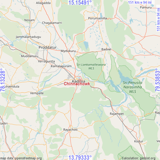
Chinnachowk GPS coordinates[2]
14° 28' 30.576" North, 78° 50' 7.44" East
| Map corner | latitude | longitude |
|---|---|---|
| Upper-left | 15.15491°, | 78.13228° |
| Center: | 14.47516°, | 78.8354° |
| Lower-right: | 13.79333°, | 79.53853° |
| Map W x H: | 151.4×151.4 km | = 94.1×94.1mi |
| max Lat: | 34.9274° ⇑82.5% North |
| Chinnachowk: | 14.47516° |
| min Lat: | ⇓17.5% South 8.09008° |
| min Long | Chinnachowk | max Long |
| 68.82655° | 78.8354° | 96.81° |
| W 57.5%⇐ | ⇒42.5% E |
Elevation
Elevation of Chinnachowk is 135 m = 443 ft, and this is 160.6 m = 527 ft below average elevation for this country.
| Max E: |
3681 m = 12077 ft | 62.5% |
| Avg. | 295.6 m = 970 ft | |
| Chinnachowk | 135 m = 443 ft | |
Min E: |
1 m = 3 ft | 37.5% |
See also: Chinnachowk elevation on elevation.city.
Geographical zone
Chinnachowk is located in North Torrid zone (between Equator and Tropic of Cancer). Distance of this Northern Tropic circle is 996.4 km =619.1 mi to North.| Distance of | km | miles | from Chinnachowk |
|---|---|---|---|
| North Pole | 8397.6 | 5218 | to North |
| Arctic Circle | 5791.7 | 3598.8 | to North |
| Tropic Cancer | 996.4 | 619.1 | to North |
| Equator | 1609.5 | 1000.1 | to South |


Nearby cities:
15 places around Chinnachowk: (largest is in red/bold)
• Badvel
38.7 km =24 mi,  39°
39°
• Cuddapah
1.4 km =0.9 mi,  292°
292°
• Diguvametta
102.3 km =63.6 mi,  359°
359°
• Erraguntla
36.6 km =22.7 mi,  299°
299°
• Giddalūr
100.5 km =62.4 mi,  5°
5°
• Jammalamadugu
63.8 km =39.6 mi,  310°
310°
• Kadiri
83.3 km =51.8 mi,  240°
240°
• Kāmalāpuram
22.5 km =14 mi, 307°
• Nāgireddipalli
36.6 km =22.7 mi,  128°
128°
• Proddatūr
43.5 km =27 mi, 314°
• Pulivendla
66 km =41 mi,  264°
264°
• Rāyachoti
47.4 km =29.5 mi,  191°
191°
• Rāzampeta
46.7 km =29 mi, 131°
• Tādpatri
101 km =62.8 mi, 298°
• Venkatagiri
98.6 km =61.3 mi, 125°
Sources, notices
• [Note1] Compared only with cities in India existing in our database
• [Src1] Map data: © OpenStreetMap contributors (CC-BY-SA)
• [Src2] Other city data from geonames.org with taken over terms of usage.
• [Src3] Geographical zone / Annual Mean Temperature by Robert A. Rohde @ Wikipedia
