Pūnch geodata
Pūnch (Jammu and Kashmir) is a populated place; located in India in Asia/Kolkata (GMT+5.5) time zone. With population of 28,197 people, there are 1531 cities with bigger population in this country. Compared to other cities in India, 99.4% of cities are located further ↓South; 88.9% of cities are located further →East and 96.2% of cities have lower elevation than Pūnch. Note1


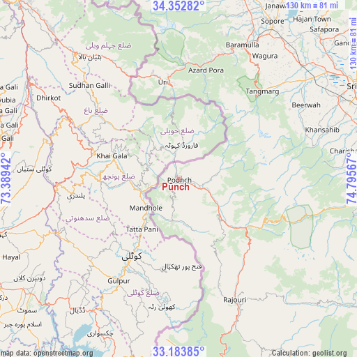
Pūnch GPS coordinates[2]
33° 46' 13.188" North, 74° 5' 33.144" East
| Map corner | latitude | longitude |
|---|---|---|
| Upper-left | 34.35282°, | 73.38942° |
| Center: | 33.77033°, | 74.09254° |
| Lower-right: | 33.18385°, | 74.79567° |
| Map W x H: | 130×130 km | = 80.8×80.8mi |
| max Lat: | 34.9274° ⇑0.6% North |
| Pūnch: | 33.77033° |
| min Lat: | ⇓99.4% South 8.09008° |
| min Long | Pūnch | max Long |
| 68.82655° | 74.09254° | 96.81° |
| W 11.1%⇐ | ⇒88.9% E |
Elevation
Elevation of Pūnch is 999 m = 3278 ft, and this is 703.4 m = 2308 ft above average elevation for this country.
| Max E: |
3681 m = 12077 ft | 3.8% |
| Pūnch | 999 m 3278 ft | |
| Avg. | 295.6 m = 970 ft | |
Min E: |
1 m = 3 ft | 96.2% |
See also: India elevation on elevation.city.
Geographical zone
Pūnch is located in North temperate zone (between Tropic of Cancer and the Arctic Circle). Distance of this Northern Tropic circle is 1149 km =714 mi to South.| Distance of | km | miles | from Pūnch |
|---|---|---|---|
| North Pole | 6252.2 | 3884.9 | to North |
| Arctic Circle | 3646.3 | 2265.7 | to North |
| Tropic Cancer | 1149 | 714 | to South |
| Equator | 3754.9 | 2333.2 | to South |


Nearby cities:
15 places around Pūnch: (largest is in red/bold)
• Bāramūla
54 km =33.6 mi,  25°
25°
• Gulmarg
41.3 km =25.7 mi,  40°
40°
• Kupwāra
33 km =20.5 mi, 28°
• Māgām
58.2 km =36.2 mi,  52°
52°
• Pattan
61 km =37.9 mi, 44°
• Rajaori
48.3 km =30 mi,  155°
155°
• Rāmgarh
42.5 km =26.4 mi, 163°
• Shupīyan
68.8 km =42.8 mi,  94°
94°
• Sopur
67.2 km =41.8 mi, 31°
• Soyībug
66 km =41 mi,  58°
58°
• Srinagar
74.5 km =46.3 mi, 61°
• Sumbal
72.4 km =45 mi, 44°
• Thanna Mandi
36.8 km =22.9 mi,  133°
133°
• Tsrār Sharīf
63 km =39.1 mi,  80°
80°
• Uri
34.7 km =21.6 mi,  353°
353°
Sources, notices
• [Note1] Compared only with cities in India existing in our database
• [Src1] Map data: © OpenStreetMap contributors (CC-BY-SA)
• [Src2] Other city data from geonames.org with taken over terms of usage.
• [Src3] Geographical zone / Annual Mean Temperature by Robert A. Rohde @ Wikipedia
